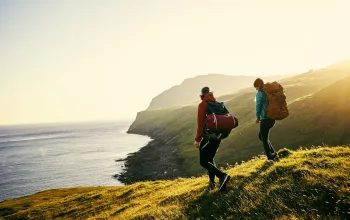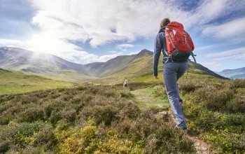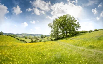
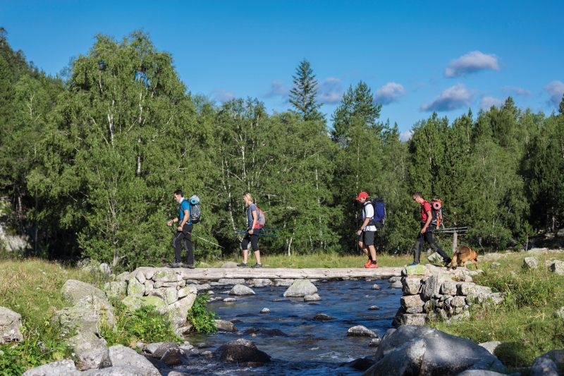
The circular route - a shorter a version of Andorra’s main Grand Route du Pays (GRP) - is truly spectacular, offering incredible views of the country’s mountain landscapes. Nearly the entire length of the 90km route is 2,000m above sea level and much of it shares the same path as the GR7 and the GRP.
The first 13km stretch is probably the toughest. Beginning at a little over 1,000m you climb up to the recently renovated Illa mountain refuge, at an altitude of 2,488m. Lush woodlands, the Entremesaigües waterfall, and sightings of Pyrennean chamois running up the mountainside should all help to lighten the route.
Each stage passes through unique and varied landscapes like the Circ de Pessons, the Incles Valley, the Pic de la Serrera mountain or the Comapedrosa valleys, which lie at the base of the commanding Comapedrosa peak -the highest mountain in Andorra.
This is a tough route so a great option for those used to regular mountain hikes. On several occasions, you come very close to, and follow the borders with France and Spain. You only come into contact with ‘civilisation’ twice: once when you reach the Bordes d'Envalira (Stage 2), and later, at El Serrat i Llorts (Stage 5).
Highlights
There are 16 lakes to discover, but don’t miss:
Estany de l´Illa: next to the Illa refuge.
Llac de Juclà: Juclà: the biggest lake in Andorra
Estany de les Truites: near the Comapedrosa refuge.
Estany de l´Estanyó: 45 minutes from the Sorteny refuge.
Nature Parks and protected areas
Madriu-Perafita-Claror Valley: declared a UNESCO World Heritage site.
Vall de Sorteny Nature Park: home to more than 700 species of plant.
Valls del Comapedrosa Nature Park: boasts the highest peak in Andorra - the Comapedrosa (2,942m).
Three other routes to try
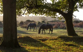
Route to Lake Engolasters
Level: Easy
This 2km out and back route from Encamp to the beautiful Lake Engolasters is an ideal option for anyone who fancies an easy hike in Andorra. It's fairly flat with an elevation of only 408m and takes about 2 hours
Ruta Verdaguer – Estany de Creussans
Level: Difficult

Something a bit different in that this five-hour, 15km route is all downhill, starting from the top of the Creussans chairlift in the Arcalis ski area, and takes in alpine meadows, the lake itself and riverside walks.
Estanys/Refugi de Cabana Sorda
Level: Moderate
This 2.7km route in one of the glacial areas of the Incles valley is a popular walk for families and meanders past rivers and through forest to reach the pretty Cabana Sorda Lake and mountain refuge.
More information: visitandorra.com
The Hiking Guide Trails of Andorra is published by the Comuns (local authorities) and Andorra Tourism and contains 54 walking routes.