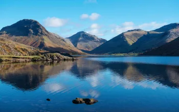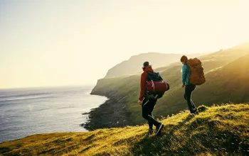

When the UK experienced the wettest winter on record, with the peak of the rainfall and flooding after storm Desmond swept though in early December 2015, it was inevitable that the country’s wettest area, the Lake District, would be especially hard hit.
Almost double the rain fell than the previous average according to the Met Office with a record-smashing 341.4mm of rain falling in Cumbria in just 24 hours. Schools were closed, thousands of homes and businesses were flooded, electricity cut, roads and bridges swept away. Just days later came Storm Eva on Christmas Eve and then Storm Frank soon after.
By mid January, with 15 roads and 26 road bridges still closed, parts of Cumbria were still facing serious problems.
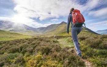
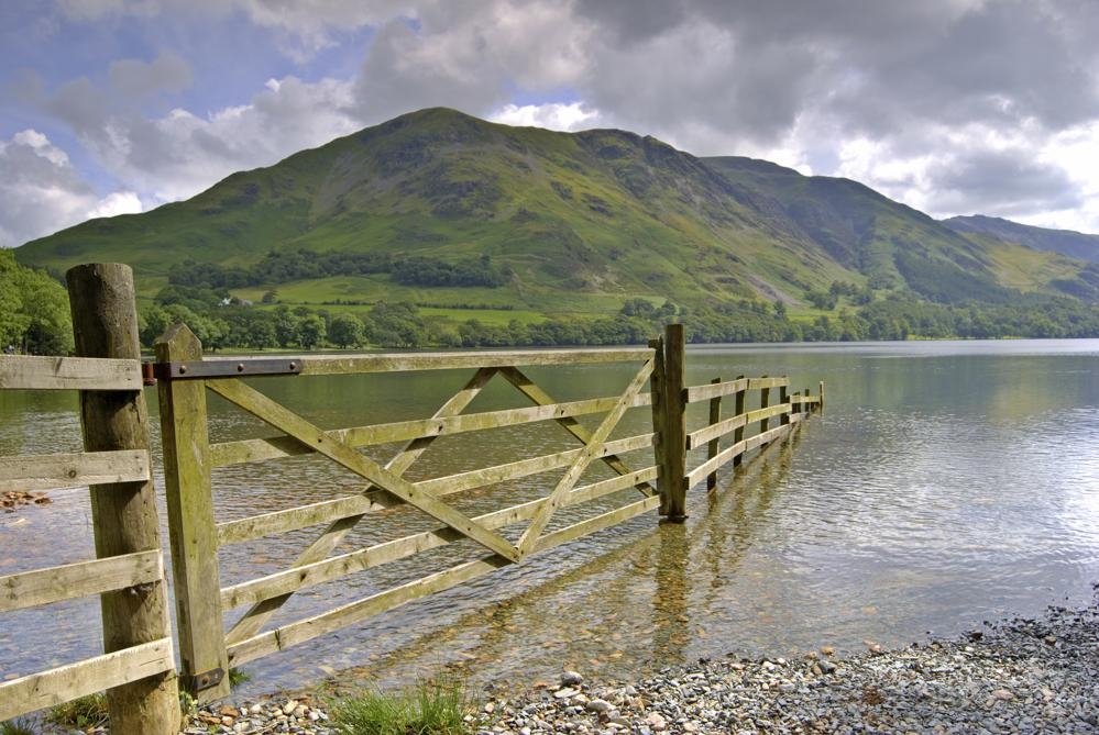
According to the National Trust, which looks after 17,000 hectares in the North Lakes, there have been 21 landslides in Borrowdale and Buttermere Valley alone since the beginning of December, and so much water has run off the fell sides with such force that it has gouged deep tears in many paths.
In popular spots such as Cat Bells by Derwentwater, Bowder Stone and Great Wood, the paths were soon open but with deep runnels where the water had carved a route for itself. Elsewhere path surfaces were buried beneath a thick layer of river rubble, silt or thick mud.
Since storm Desmond first hit, the National Park Authority, which maintains 1,400 bridges and almost 2,000 miles of path, has been concentrating survey and repair work in those valleys worst affected.
It is determined to check and repair all rights of way, but until it has the Authority will be updating a rights of way map showing the status of the paths and trails at the time.
Another iconic attraction badly hit was Ullswater, where the burst Glenridding Beck engulfed local tourist businesses with boulder-strewn flood water.
It was Glenridding that hit national headlines in December by being flooded twice in five days. But the town has since been an example of the resilience and determination of Lake District locals to get back to ‘business as usual’, as the famous fleet of Ullswater Steamers was already back in action early in the new year, despite its badly flooded pier house.
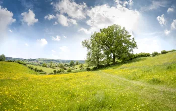
It’s clear that the residents and businesses of the UK’s most visited national park – with some 16 million annual visitors a year – is determined to get back on top.
Before you do go…get the latest on paths and roads
Rights of way
Check your intended routes in advance on the National Park Authority’s Status of the Rights of Way Map, which you’ll find on their site. You’ll also find listings of temporary rights of way closures.
Road and bridge closures
For an up-to-date list of road and bridge closures, check Cumbria County Council’s website.
Weather
Bikers and hikers should check the Lake District Weatherline website or by following @LakesWeather on Twitter.

Citizen surveying
The National Trust has appealed to its 4 million members and other Park users to help with ‘citizen surveying’ by taking photos of places where paths, walls, fences or bridges still need repairing. These pictures can be emailed to