Names become somewhat meaningless when you’re in a wilderness area, so let’s get them over with quickly. The Middle Fork of the Salmon River, down which I was about to go white water rafting for six days, flows through the heart of Idaho’s Frank Church - River of No Return Wilderness Area, the largest Wilderness Area in the USA outside Alaska.
The long-winded name comes from the fact that the region was named for the senator who was instrumental in setting it up in the 1960s; and the additional fact that it’s impossible to paddle back upstream against the various crystal clear rivers flowing through the region.
The first fact is boring; the second is full of high drama – and thankfully the Middle Fork of the Salmon takes after the latter.
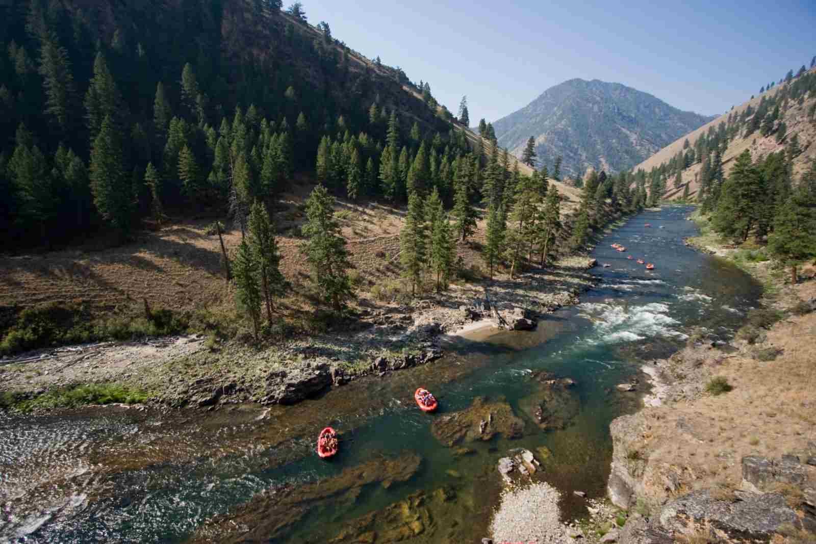
Indeed, the Middle Fork ranks high among white-water rafters and kayakers who know about these things, not so much for the ferocity of its rapids or the difficulty of negotiating them as for the constant and regular flow of the water throughout its 100-mile length - there are very few areas of ‘slack water’.
This relative lack of really serious white-water means that the river is accessible to pretty much anyone with a sense of adventure - I was on a six-day trip with a group of Texans all of whom were the wrong side of 40 and not especially fit, but one and all had the adventure of a lifetime.
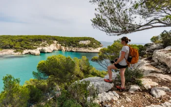
In addition to the thrills and spills of rafting there’s the very obvious attraction of the spectacular scenery and wildlife you encounter as you descend from the ‘put-in’ point at 6,000ft-high Boundary Creek to the ‘take out’, 3,000ft lower down at the confluence with the main Salmon River.
It has to be said that at the ‘put-in’ the Middle Fork would be unlikely to get anyone too excited though - generally narrow and shallow, this is not (yet) the kind of whitewater maelstrom you see on all the rafting posters.
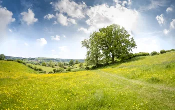
But what you get instead is inspiring mountain scenery on either side of the river - even in July there are snow patches on the highest of the peaks, which rise to between 7,000ft and 9,000ft.
The upper part of the river is indeed quite mellow, and there are plenty of opportunities to sit back in your raft and watch the landscape drift by, or hang a line over the side and wait for a salmon or trout to bite (although being a Wilderness Area, all fish are taken on a catch-and-release basis).
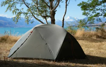
Day’s end sees rafters and guides chilling out together around a camp fire. Camping is in two-person tents which your guides will erect for you, invariably on idyllic white-sand beaches beside the river, with a backdrop of pine forests and blue mountains. Meals, cooked by the guides, are also excellent and varied, there's plenty of beer and wine, and it doesn't take long to crash out to the plash and murmur of the nearby river.
That said, if you take a hike from the camp-site up the canyon sides, there's every chance of seeing a big-horn sheep or deer, less so the more exotic local species such as bears, moose, cougars and wolves - which may be just as well for all concerned.
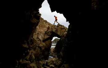
But it's perhaps on a lone hike before the evening meal that you're most likely to get a feel for the isolation and challenge that this landscape provided for the pioneers who stumbled through here a century ago.
Away from the chatter and clatter of the camp-site, looking at the river flowing ceaselessly towards the far distant Pacific Ocean and the peaks and forests bearing down from above, it's not hard to appreciate the awesome and sometimes frightening beauty that Idaho presented to those early travellers.
Nor is it hard to understand why the native Sheepeater Indians, whose pictographs you may stumble across, revered and worshipped such an uncompromising and elemental landscape.
Named after the region’s bighorn sheep, which constituted a major part of their diet, the Sheepeaters had this gloriously unspoiled region to themselves until trappers, miners and settlers moved into the area in dribs and drabs from the 1850s onwards, but no access roads were ever built, hence the region has seen very little development or despoilation.
Floating the river began in the 1920s with pioneers who wanted to see what lay beyond the point where the trails ended, and today the number of rafters and kayakers allowed on the river is restricted in order to preserve the wilderness.
Back on the river, it wasn't until day three of the trip that white-water started to put in a regular appearance, and I flipped out of my ‘ducky’ (a single-person inflatable kayak) at the first sign of turbulence. But, as more and more Class III rapids (see box out) assaulted us, I was surprised at how easy they were to deal with if you follow your river guide's advice.
On day four, we hit our first Class III/IV rapids. One of them, Redside, is regarded as one of the 50 classic rapids in the US, so it was with no small measure of trepidation that I approached it alone in a duckie.
All I could really see of it as I approached in my rubber boat was a vague blur of white water, and what followed was a good deal of bouncing around and a thorough soaking. Shooting a rapid of this size appears to boil down to a combination of anxiety and adrenalin, with, ideally, the adrenalin winning out and taking you through. It's only afterwards that you realise it was also fun.
The penultimate day of the trip began with shafts of hot sunlight beaming down from above the canyon walls to glimmer off the calm but deep and fast flowing green waters, a big change from the turbulent waters we’d encountered further upstream clear.
But it wasn’t to last, as eventually we approached yet another series of roaring, rushing rapids, including the worryingly named Devil's Tooth Rapids. Appropriately enough I was unceremoniously flicked out of my ‘ducky’ by a monster of a wave here, but the swim was fun, my pride wasn't hurt, and I'd go back any time and do it again any time.
River classifications
Class 1: very easyClass II: easy - waves up to three feet; some manoeuvring required.
Class III: medium - rapids with numerous high, irregular waves capable of swamping an open canoe.
Class IV: difficult - long, difficult rapids, powerful waves, dangerous rocks, boiling eddies, constricted passages.
Class V: very difficult - long, violent rapids, which pose a significant hazard to life in the event of a mishap.
Class VI: limit of navigation - rarely run and a definite hazard to life