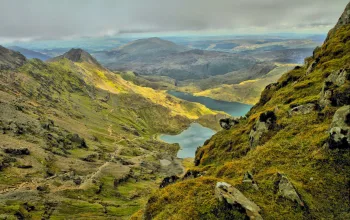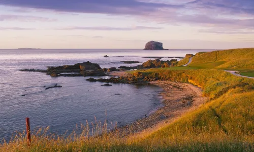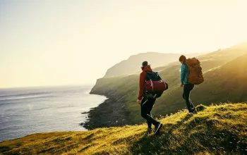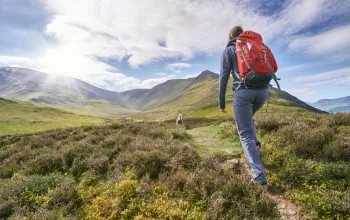
The minute you start this walk you are assailed by stunning views to every side. Walking down towards the coast path you can see the famous Daymark in the distance on your left. It is a huge octagonal stone tower which was built in 1864 to guide mariners in to Dartmouth. It is visible for miles, including from Dartmoor. Meanwhile on your right, you can see all the way down to Start Point with great views of the long shingle beach at Slapton Sands.
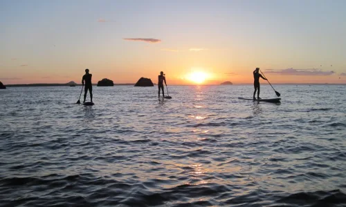
As you walk, especially if it's a lovely summer's day, you'll quickly become aware of what a busy place Dartmouth is for mariners. Nearer towards the mouth of the estuary, you'll see all manner of boats out and about, from the little white sails of dinghies, through to fishing and pleasure boats, and the odd cargo ship further out to sea.
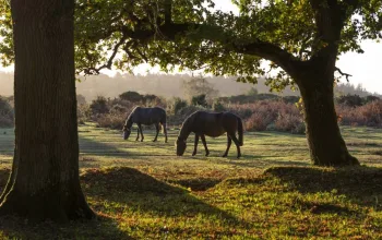
There are usually cattle grazing in the fields above the coast, including an unusual herd of British Whites, one of the oldest breeds in Britain. They are white, with black ears and noses. They are very gentle and are unusual in that when they have calves, they take it in turn to watch over them while the rest of the herd grazes. Also, look out for linnets, stonechats and yellowhammers which can often be seen.
You may notice some small islands out to sea. The smaller, nearer one is the Western Blackstone. Further out and larger is the Mewstone. The walk then takes you down a picturesque valley, with a triple fingerpost at the bottom. This is where you can head off to Compass Cove if you wish to. This is a lovely little beach with a cave and lots of rocks for climbing. It has some unusual orange pebbles. It is quite a sun trap and a great place to hang out for an hour or two - and enjoy a dip of course!
There is more to this beach than meets the eye though. It contains the ruins of an old Victorian cable house, which was used to pioneer an early form of communication. In 1884 an undersea telegraph cable was laid to Guernsey. It was 92 miles long, and electric signals were transmitted over wires to send messages. It was in use until the 1950s, except during the German occupation of the Channel Islands in World War Two, when it was severed.
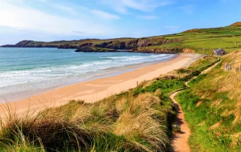
Further on from Compass Cove is Blackstone Point, where there is a raised beach, consisting of a series of rocky ledges, where many people like to fish. This is also a great place to swim from when it is calm, as the water is incredibly clear. However the main swimming destination is Sugary Cove, the next stop on the walk. You descend through attractive woods, which are full of bluebells in May, to find a small beach bordered by angular slate cliffs.
It is best to visit the beach at high tide, so as to get the most exciting swim. Head out into the bay, keeping to your left. Keep looking to your left, and you will see a gap in the rocks. This leads into a spectacular channel, linking through to Castle Cove next door. We call it the 'Ravine'. Swimming through here is an amazing experience, although do not attempt it if the sea is rough. The rocks tower up either side of you, and there is a small oak tree leaning overhead. The play of light on the rock walls is entrancing, and when the water is calm and clear you may see fish, spider crabs and starfish. You emerge at Castle Cove where the dramatic atmosphere continues, as the castle overshadows the scene. Slightly more prosaic is the sign on the rocks below the castle, warning of the danger of the rising tide!
This sign - along with one reading '6 knots' is on a concrete platform just below the castle, which dates from Victorian times. Castle Cove was, and still is, the town's main beach, but is small and virtually disappears at high water. So the townspeople decided to create a bathing platform on the rocks, and connected it via a bridge to the little beach, so it was accessible at all states of the tide. Sadly now the connection to the bridge from the beach has been washed away, but it is still fun to swim to the platform, and it is a great place to dive and jump from at high water.
If you have non-swimmers with you they can bring your stuff along to Castle Cove and meet you there, or else it is just as easy, and probably more enjoyable, to swim back the way you came and enjoy seeing it all again from a different angle. We often get close up to sea birds here, as they like to perch on the rocks and don't seem to notice you when you're in the water - if you're quiet. Oyster catchers are particularly common, and are a beautiful sight with their bright orange bills and legs. It is really interesting to stop and observe these birds at such close quarters.
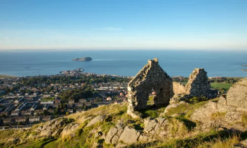
Dartmouth Castle is well worth a visit. Construction was started in 1388 to defend the port, and it contains numerous exciting guns, cannons and the like. It has an amazing position, built right on top of the rocks, almost overhanging the water, and incorporates the ancient church of St Petrox. It was fought over by the Royalists and the Parliamentarians in the English Civil War, and also played a role in the First and Second World Wars.

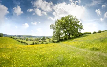
The walk finishes by taking you inland, through a farm, but the amazing views continue as you are still high up.
Little Dartmouth, Compass Cove, Sugary Cove, Castle Cove circular wild swimming walk, Devon directions
1 From the car park walk south along the track with the sea ahead of you. 0.4 miles
2 At the stile turn left and walk east with the sea on your right. 0.3 miles
3 Turn left through the gap in the stone wall and continue with the sea on your right. You're now walking north, towards Dartmouth. 0.1 miles
4 After an ascent you reach a fork in the path - take the right hand fork. This path takes you down a picturesque valley. 0.5 miles

5 At the bottom you will see a sign to Compass Cove on the right. If you wish to visit it, go off here, and then return to the main path and follow it with the sea on your right. 0.2 miles
6 At the next headland, which is called Blackstone Point, you can do another diversion by climbing through a hole in the hedge and going onto some rocky ledges below which are fun to swim off on a calm day. Otherwise follow the path, which starts to ascend through woods. 0.4 miles
7 You reach a fingerpost with a bird box on top, with Compass Cottage on the left. Just past the fingerpost there is a path on the right down to Sugary Cove. 0.1 miles
8 Leaving Sugary Cove, do not take the same path back up as it is very steep. Instead, take the other footpath up from the beach and bear right; this will bring you out on Sugary Green and the road. If you wish to visit the castle, follow the footpath off to the right of the road, which takes you down to the castle. Afterwards retrace your steps and follow the lane back to Compass Cottage where you take the right hand fork. 0.2 miles
9 You reach a gate with a sign saying Private, Coastguard Rescue, Police and Emergency Vehicles Only. Go through here, and through the stile into land with the National Trust Little Dartmouth sign. Head through the farm, following the Public Bridleway to NT car park sign, which takes you back to the car park. 1 mile
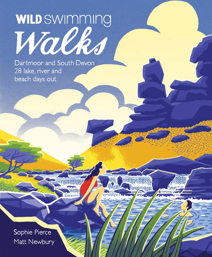
Route reproduced with kind permission from Wild Swimming Walks, book available now for only £14.99 from wildthingspublishing.com