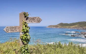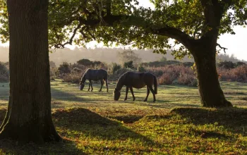

On this walk you are never far from the Thames until the final stretch into Didcot. The going is easy, on flat land or gentle inclines, with constant views along the river or down towards it from slightly higher ground.
There are many possible swimming places - the river is quite wide and deep and easy to swim across. There is some river traffic, which you need to look out for, and there are several weirs, so avoid swimming too close to one. We had our first swim a little upstream from Shillingford Bridge Hotel, our second upstream from Day's Lock and our last just where the route leaves the river for the last time. In fact, there are plenty of swimming spots all along the river upstream from Day's Lock, although in some places the bank is steep and in others the river is shallow at the edge, but it is easy enough to paddle out to deep water.
In the earlier part of the walk a relative absence of recent development allows the landscape to evoke its long human history. There are Roman and pre-Roman earthworks and a pattern of small villages on ancient sites. Most of them trace their origin back to Saxon times or earlier. Pottery excavated from the Sinodun Hills - site of a hill fort, crowned by the oldest planted hilltop beeches in England and also known as the Wittenham Clumps - indicates occupation from the first to the fifth centuries.
Little Wittenham is a tiny hamlet consisting of a few houses and the church of Saint Peter. The tower is 14th to 15th century but the nave was rebuilt in the 19th century. The main point of interest is an alabaster monument to Sir William Dunch, MP for Wallingford in the late 16th century, his wife (who was an aunt of Oliver Cromwell) and his children.
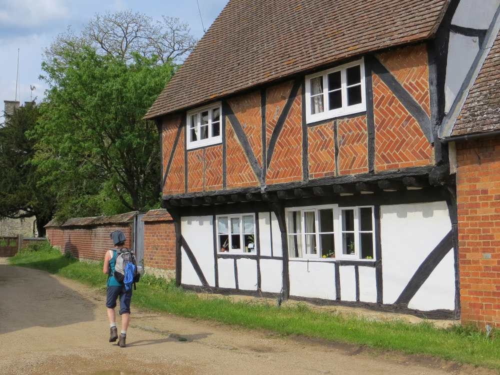
The village of Long Wittenham has a number of old houses, several with cruck frames, including a cottage alleged to date from the 13th century. The church dates from the 12th century and contains various Norman features: the chancel arch, a window in the north wall of the chancel and a remarkable round lead font decorated with bishops standing beneath an arcade, with rosettes and wheels above. It was hidden from Cromwellian soldiers and forgotten, then rediscovered in the 19th century. The font cover and other woodwork in the church is Jacobean; in the chancel there is a most unusual carved piscina. At the end of the village you will find the Pendon Museum with a collection of model railways and landscapes, housed in a former pub building.
Shillingford to Didcot wild swimming walk, Oxfordshire directions
1 Shilliingford Bridge
There are two bus stops in Shillingford. Alight at the second (by The Kingfisher Inn) at the west end of the village, retrace your steps to the crossroads and just beyond Wharf Road take a narrow, enclosed footpath signed for the Thames Path. After about 300 metres, at the bottom, bear left onto a minor road, which takes you to the main road, where you turn right to cross over the Thames by an attractive bridge. Just after the bridge turn right along the river bank where there is a lawn belonging to Shillingford Bridge Hotel, which charges £15 for picnicking on its lawn. So, don't have your picnic here.
0.5 miles
2 To Little Wittenham Wood
Beyond the hotel lawn keep to the riverside footpath (note, this is not the Thames Path) where there are possible places to swim as the path soon leaves the river. At first the bank is high and overgrown but soon there are spots where you can enter the water through reeds. The path leaves the river by a kissing gate (there is another good place to swim just beyond this) and heads off along the edge of a field with a ditch and hedge on your left. At a junction of paths, turn right on a bridleway which runs into a farm track. (Taking this track to pass North Farm on your left would be the shortest route, but does not appear to be a right of way and the bridleway makes a loop below the farm.) Follow the bridleway as it veers off left to pass North Farm on your right, crossing another farm track. At a path T-junction turn right then left to rejoin the track from the farm. Continue on this bridleway to reach Little Wittenham Wood. This is the only significant wood on the walk, which may be useful to bear in mind if it is very hot or pouring with rain.
1.5 miles
3 Optional detours and a shortcut
Follow the path through the wood, which leads straight on and slightly uphill.

Detour 1: Just before leaving the wood turn left to visit the Iron Age fort on Castle Hill (Wittenham Clumps), from where there is a spectacular view over the Thames valley - a perfect place for a picnic. From here descend by a footpath to Little Wittenham to rejoin the main route. (This adds about one mile.)
If you do not make the detour, continue straight on to emerge on the far side of the wood at a meadow where there are beautiful views, across the river below and up to Wittenham Clumps. Follow the path gently downhill to a lane where you turn right into Little Wittenham. Go past the church and continue to cross three bridges, the last two over the Thames. On the far side there are three paths, one that turns sharp left, one that bears left, and the Thames Path that bears right along the river back to Shillingford.
Detour 2: Take the path that bears left to the fairly large ancient village of Dorchester on Thames, where there is an abbey church, a museum and a pub. Explore and return to where you crossed the Thames. (This adds about two miles.)
Optional shortcut: If you do not want another swim, you can take a direct byroad from Little Wittenham to Long Wittenham. In this case retrace your steps over the bridges (if you crossed them) back past Little Wittenham church and continue on the lane to turn right at a junction, taking a minor road and cycleway to Long Wittenham. (This saves about 1.5 miles.)
Main route: From the last of the bridges take the sharp left path to follow the river bank to Day's Lock and a weir, where you cross back over the river and turn right to follow the river path upstream. As soon as you are far enough from the weir you can swim.

Continuing mileages are for the route with neither detours nor shortcut.
2.5 miles
4 Beside the Thames
Follow the Thames Path by the river for about two miles through open meadows with little shade or shelter. After about a mile you start to see scattered buildings on the far bank, boat houses, a few old villas and some rather dull, modern houses. Shortly after the buildings finish, look for a path leading away from the river to Long Wittenham. It is not easy to spot because there is no noticeable turning, the sign is inconspicuous and, when we did the walk, it appeared to point into a dense bed of reeds. When we parted the reeds, however, we found there was a boardwalk in perfectly good repair. (If you miss the path you reach a road a quarter of a mile upstream and can turn left there to Long Wittenham, but look out for traffic.)
4.5 miles
5 To Long Wittenham
Assuming you find it, turn left on the path, which soon becomes a pleasant grassy track lined with bushes. After a little over half a mile it comes to a junction with a hard track where you turn right and soon pass some buildings on your right. Keep to the lane, which veers slightly left then straightens out and continues to Long Wittenham, passing a few outlying houses on the right.
5.5 miles
6 Towards Didcot
Long Wittenham lives up to its name as it lines the road for nearly a mile. As you come in there is a crossroads where you carry straight on, down the main street. (This is where the shortcut rejoins the route.) The church of St Mary's is at this end of the village. In the middle of the village the main road turns left but continue on the minor road ahead, which is a cycle route (NCR5). At the far end of the settlement is the Pendon Museum. From here, stay on the cycle route, which soon becomes an off-road track and heads across flat fields to Didcot.
7 miles
7 Didcot
The cycle track crosses a main road and continues through fields to the edge of Didcot where it goes under the ring road. A short distance after passing under the bypass, where the cycle track is signed to the left, continue on the footpath straight ahead. Soon it runs beside the main railway. Eventually, you reach a road where you turn right under the railway and then right again to arrive at Didcot station.
8.5 miles
 Route by Margaret Dickinson and Liz Valentine.
Route reproduced with kind permission from Wild Swimming Walks, book available now for only £14.99 from wildthingspublishing.com