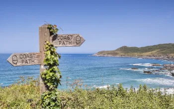

Bath Skyline Walk - Why Go?
Bath, with its ancient Roman history and iconic curved terraces (famously used as the backdrop for every period drama since the dawn of time) is a must-visit if you're in the Southwest. If you're looking for walks near Bristol, there aren't many better than the Bath Skyline trail. It's just a short walk outside the city centre, which is a 12-minute train ride from Bristol Temple Meads station, and can be easily combined with a visit to the UNESCO World Heritage town.
Bath Skyline Walk - What to expect
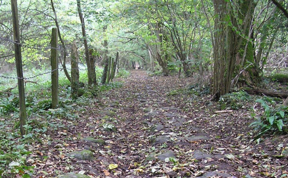
The Bath Skyline Walk is a loop which circumnavigates the hills to the East of the city- Bathampton Down and Claverton Down - describing a massive circle with Bath University at its centre. The terrain is a mixture of open parkland and woods, and while there are a couple of steep climbs, a lot of it's flat, and there's nothing that could be described as really challenging.
It's not suitable for pushchairs, but it's a great place to take older kids, dogs, or both. Some of the paths here can get wet quite easily, so make sure you have a good pair of waterproof boots, or approach shoes. As always, a rain jacket, or at the very least, an umbrella, is a must.
Bath Skyline Walk - The Route, Part 1
9.6km / 3.5-4 hours
The Bath Skyline Walk starts at Bathwick Hill and Cleveland Walk. If you're catching the train from Bristol, it's about 20 minutes walk from Bath Spa station. But you may want to leave longer to stroll the streets of Bath at a more leisurely pace, and see the sights that give the town its world heritage site status.
From the starting point, at the entrance to the National Trust Bathwick Hill site, you'll see signs marking the Skyline Walk. Follow these up towards Sham Castle, a folly built in the 18th Century. It's about a 200m detour off the main track, but worth it to see closeup. Rejoining the track, walk north, keeping the views on your left. The path will turn right, then right again, heading eastwards and steeply uphill.
Bath Skyline Walk - The Route, Part 2
The section across the top of Bathampton Down is relatively flat, taking you across open fields and past some old radio masts. The route crosses briefly through land belonging to the University of Bath, before it reaches Claverton Down Road, which you follow for around 40 metres, before it's back up into the Skyline Hills for the Claverton Down section of the walk.
This long loop around the edges of Claverton Down doesn't have any truly steep hills, and the walk's elevated position offers incredible views over the city, crowned by the gothic splendour of Bath Abbey. The whole walk should take somewhere between three and a half to four hours, making it the perfect accompaniment to a day spent exploring the town's roman baths, and ancient streets.
For more walking ideas, check out our full rundown of the best walks near Bristol.