
- Details
- Written by: Mike Walker
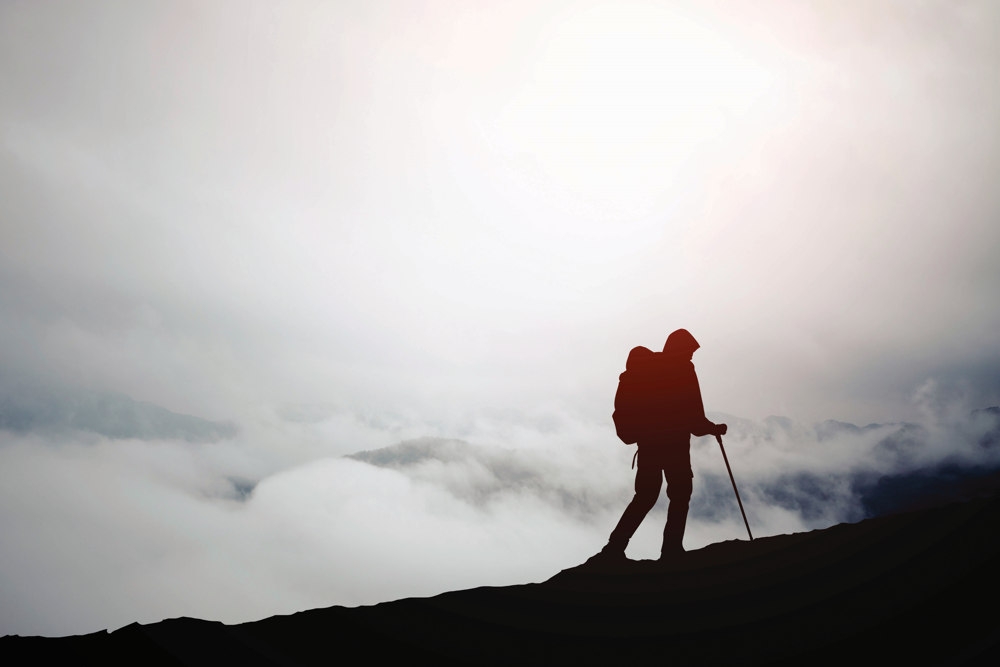
Observation
Conditions change quickly in the hills, so the more information on your surroundings you can glean, the safer you’ll be in fog. This includes pre-trip route planning and listing feature and distance waypoints, then constantly looking around and cross-referencing features with compass and map.
Stick to the path
In poor visibility the trail is your lifeline, so don’t leave it. Again, get in the habit of looking up and down the trail when the visibility is good and cross-referencing with a map. If you get to a fork in fog, leave a stone or twig showing the way you came, before carefully exploring each option.
Use a GPS
Low visibility is where a GPS will come into its own, with many, such as Garmin and SatMap devices, as well as smartphone navigation apps like Viewranger and MemoryMap, including topographical Ordnance Survey mapping. But don’t over-rely on a GPS in good visibility – batteries fail, screens crack, devices get lost. Always take a compass and paper map.

Wait for it!
If you’re truly lost and the terrain is particularly treacherous, then stop and wait for a break in the fog or cloud. Wandering aimlessly around the hills will only get you more and more lost. If the fog looks set to stay and you urgently have to get off the hill, set a clearly identifiable ‘base’ and then mark each trail that you explore so that you can always at least return to this base.
Use your phone
No, not to call the emergency services – unless someone is hurt or in real danger. Instead, if your phone has GPS, upload OS’s own OS Locate app (Apple and Android) which will give you a compass bearing and exact grid reference to find your position on an Ordnance Survey map. You don’t even need a phone signal for it to work.

