- Details
- Written by: Jordan Tiernan
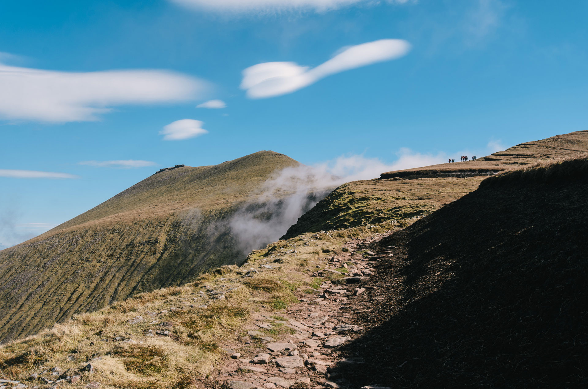
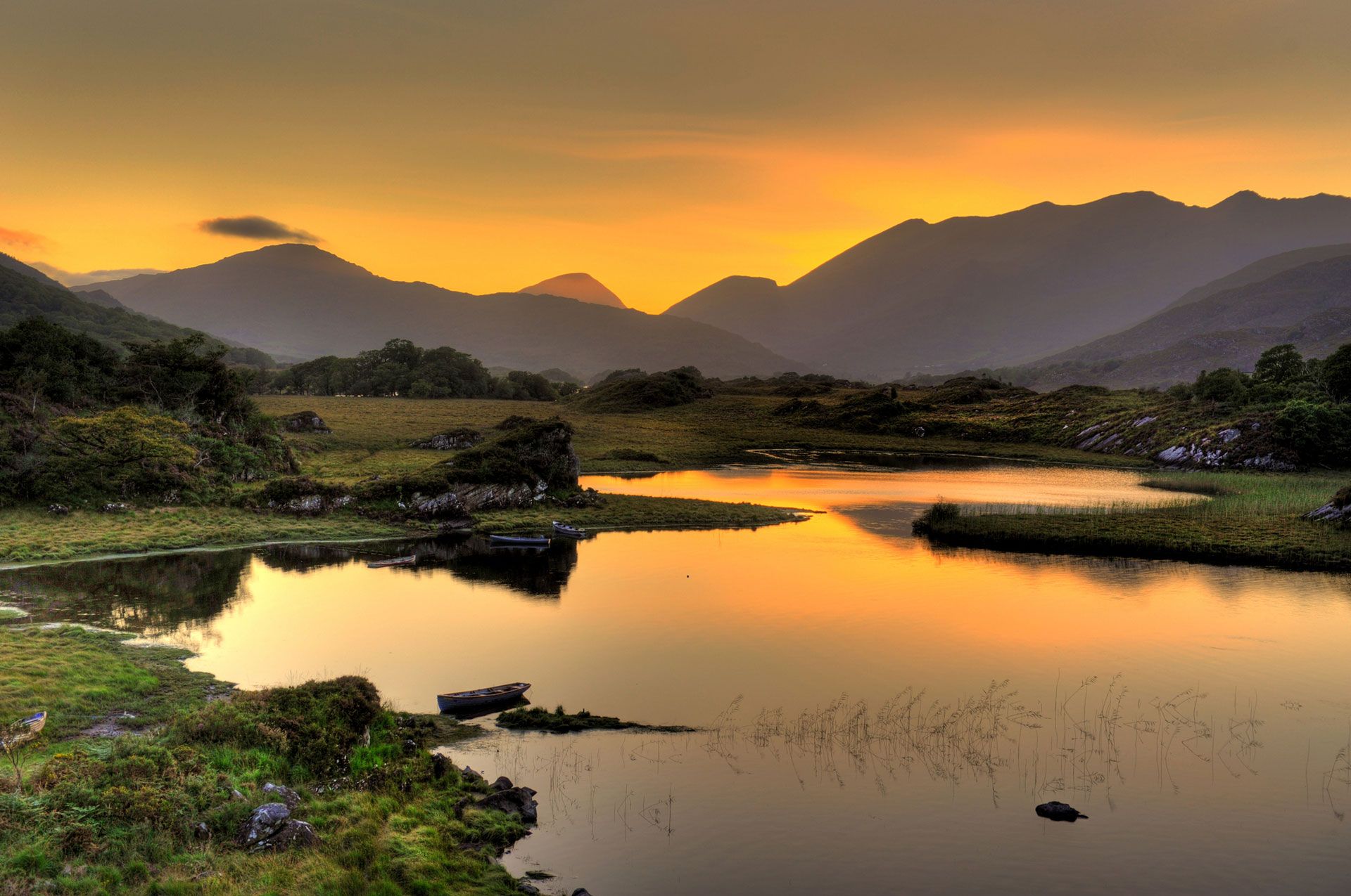
Regions and countries become synonymous with certain brands. Tetley Tea put Yorkshire on the map, Apple helps to make the USA a tech powerhouse and Guinness puts Ireland at the top of the beer-producing stage with its ruby red colour and caramelised flavour. That being said, we’re keen to point out here and now that there’s so much more to Ireland than the whole ‘my goodness, my Guinness’ business. Take Ireland’s mountains, for example. Take the ten highest mountains in Ireland. They’re epic.
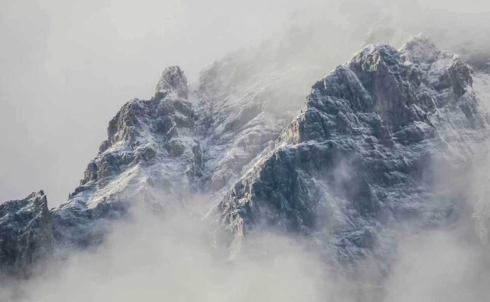
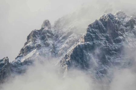
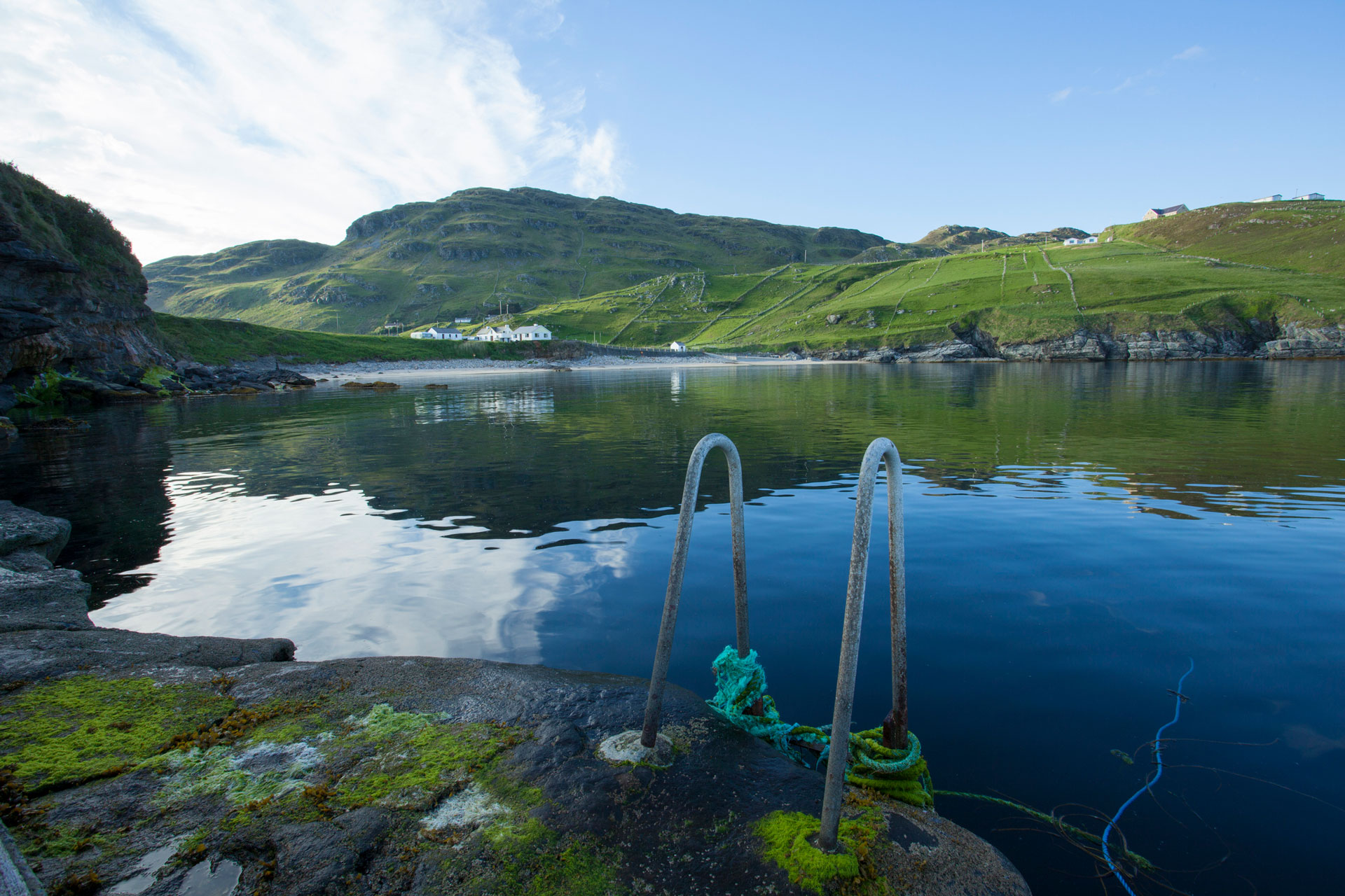
Because the mountains in Ireland are known for being in cloud around 75% of the time, and receive a staggering 225 days of rainfall per year, you could be forgiven for not knowing that the country is actually pretty mountainous. The peaks are simply hidden from view more often than not.“The mountains in Ireland are known for being in cloud around 75% of the time”
As with most ‘highest mountains in…’ articles, there’s always some confusion found between mountains that stand alone and mountains that are formed off from other mountains.
The mountains in this article are required to have a prominence (the measure of an independent mountain, from its lowest contour line to summit) of over 100m to be included. Some lists out there include mountains with a mere prominence of just 30m, but we’re only including proper mountains here.

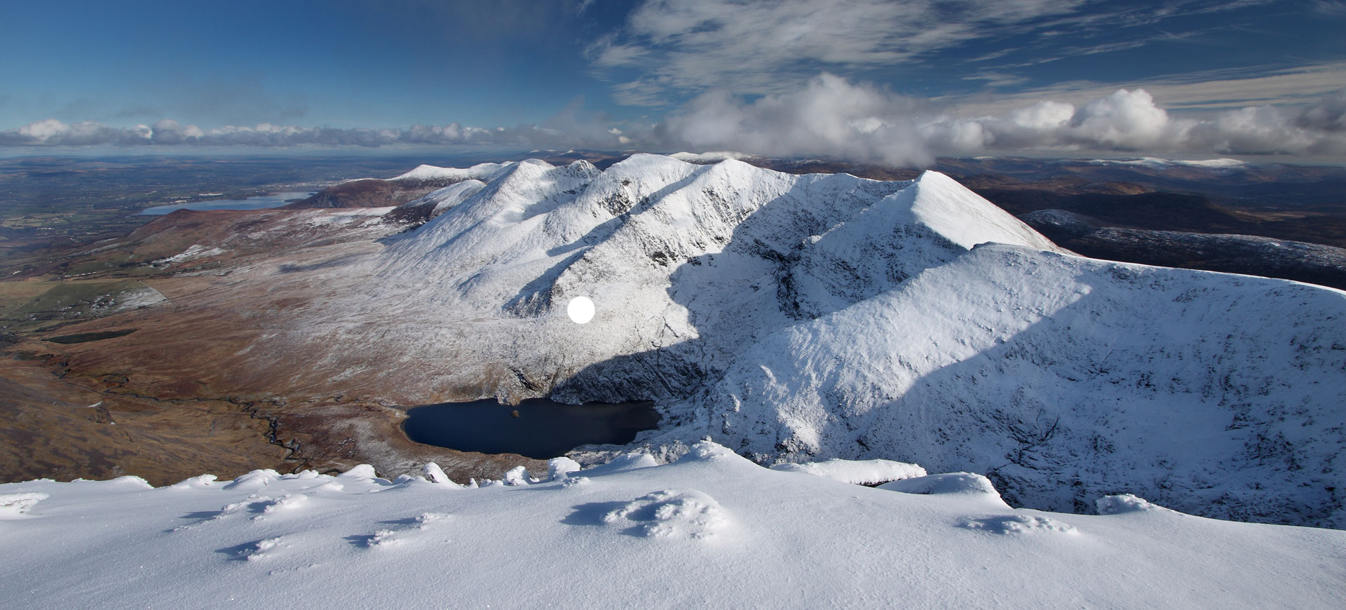
1) Carrauntoohil
Height: 1,038m Location: Co. Kerry Irish name: Corrán Tuathail Irish meaning: Tuathal’s sickle
The central peaks of the MacGillycuddy’s Reeks mountain range, and Ireland’s highest mountain. Carrauntoohil is linked together to many of the other 1,000m peaks in the MacGillycuddy’s Reeks. You can ascend the Beenkeragh Ridge in a northerly direction, which leads down to Beenkeragh (1,008m) or in a westerly direction along the Caher Ridge that leads to the summit of Caher (1,000m). Note: Both Beenkeragh and Caher do not have a high enough prominence to be included in the list of highest mountains in Ireland.
Carrauntoohil can be walked up using the worryingly named ‘Devil’s Ladder’ which is the most popular and direct walking route up to the summit. Due to its popularity, the Devil’s Ladder has largely become eroded. The ladder itself is a wide bolder-strewn gully that houses more than enough loose rocks to cause concern when ascending or descending – certainly not one to aim for on a busy day. Once on the top of the Ladder, the path up to the summit is relatively straightforward via the long summit slope.
2) Cnoc na Péiste
Height: 988m Location: Co. Kerry Irish name: Cnoc na Péiste Irish meaning: Hill of the serpent
Being second on this list and technically fourth highest mountain in Ireland (based on overall height), very few people ascend to the summit of Cnoc na Péiste and those that do will know little about the tragedy that occurred on this mountain in the 1943.
An American Airforce C 47 (military transport aircraft) was on a ferry flight from the USA to England, whilst ferrying supplies over to the front line in preparation for D-Day. In total darkness and radio silence, to avoid the lurking German Luftwaffe, the C 47 dropped down to an altitude of 600m in order to sight their way across the bleak landscape. However, what the crewmen did not realise was that they were in terrain with many 900m+ peaks surrounding them – the MacGillycuddy’s Reeks mountain range. The C 47 soon slammed into the side of the Cnoc na Péiste, killing four of the crew instantly. Staff Sgt. Arthur Schwartz managed to crawl away from the burning wreckage, but sadly died soon afterwards.
3) Mount Brandon
Height: 951m Location: Co. Kerry Irish name: Cnoc Bréanainn Irish meaning: Brendan’s hill
With a prominence of 934m, Mount Brandon has the second highest prominence all of Ireland’s highest mountains. It’s also the central peak in the Brandon Group of mountains, which are a cluster of mountains located in the Dingle Peninsula of Kerry. Given this, Mount Brandon is also the highest mountain located outside of the MacGillycuddy’s Reeks range.
Another peak in Ireland that’s hiding wreckages from crashed WW2 planes, the Brandon Group is strewn with 4 wreckages of planes that crashed when approaching the mainland from 1940 – 1943. Keep an eye out for the wreckage if you’re in the area, as it can be seen scattered about the rocks of the Faha Ridge that leads up the Mount Brandon.
4) Lugnaquilla
Height: 925m Location: Co. Wicklow Irish name: Log na Coille Irish meaning: Hollow of the wood
Highest mountain in Ireland outside of Kerry is 925m Lugnaquilla. Commonly known as ‘Lug’, Lugnaquilla is a popular mountain due to its proximity to the city of Dublin. However, don’t let a fear of crowds put you off from walking up it – it’s got some fantastic broad ridges that lead up to its large, flat summit, which gives great views across to the Irish Sea.
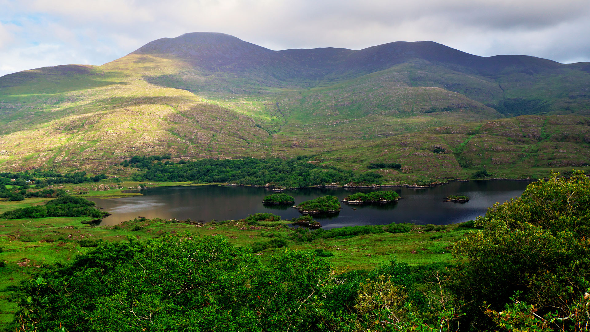
5) Galtymore
Height: 919m Location: Co. Limerick Irish name: Cnoc Mór na nGaibhlte Irish meaning: Big hill of the Galtees
Part of the Galty Mountains which are a range of grass-covered rolling mountains stretching 30km east to west. Galtymore tops the region with a height of 919m. Getting to the top of Galtymore is relatively simple; by the Black Road Route. This route takes around 3-4 hours to ascend via the 9km path.
6) Baurtregaum
Height: 851m Location: Co. Kerry Irish name: Barr Trí gCom Irish meaning: Top of the three hollows
Highest in the Slieve Mish Mountains range and 1031st highest peak in the British Isles, Baurtregaum is a fantastic walk to take on as a way to take in some breathtaking views of nearby Tralee Bay, on the west coast of County Kerry.
7) Slieve Donard
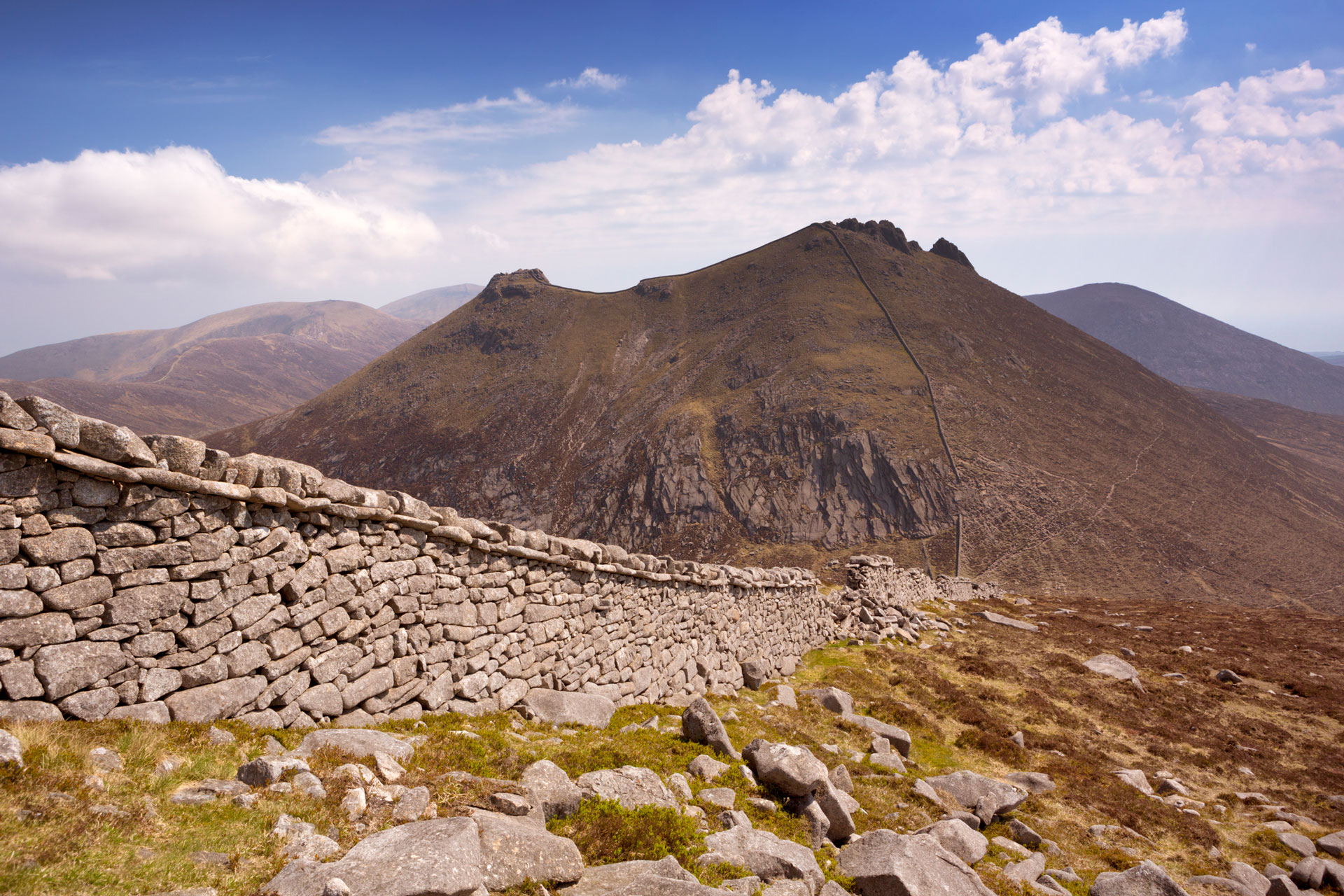
Height: 852m Location: Co. Down Irish name: Sliabh Dónairt Irish meaning: Peak (St.) Domhangart
Slieve Donard, Northern Ireland’s highest peak sits at 852m within the Mourne Mountain range – the first national park in Northern Ireland. The Mournes are a group of granite mountains and hills that sit off the the east coast of Ireland.
Slieve Donard sits just 3km away from the sea, meaning that walkers are able to ascend the whole 852m from sea-to-summit, to then get an unrivalled view out towards the Isle of Man to the East.
Kind of like Ireland’s Great Wall of China, the Mourne Wall is a 1.5m high wall that crosses the Mourne Mountains for a whopping 35km. Built between 1904 – 1922, it spreads over 15 different mountains in the range, including of course Slieve Donard. Fancy a challenge? Why not trek the entire length of the wall?
8) Mullaghcleevaun
Height: 849m Location: Co. Wicklow Irish name: Mullach Cliabháin Irish meaning: Summit of the cradle
Sitting behind Lugnaquilla as the highest mountain in the Wicklow Mountains, Mullaghcleevaun rises above the Blessington Lakes. Thought to be named after the round depression that sits near the summit with a small lake sitting inside of this depression – Cleevaun Lough.
9) Mangerton Mountain
Height: 839m Location: Co. Kerry Irish name: An Mhangarta Irish meaning: Long haired mountain
Mangerton Mountain is the highest mountain in the Mangerton Mountain Range, with a horseshoe shaped summit that is largely flat and boggy. Surrounding this mountain range are another 25 peaks with a height over 100m.
Although the name Mangerton has likely derived from the Irish name of An Mhangarta, which means “long haired”, Irish academic Tempan claims that the name could come from the Irish name of An Mhangartach. This name is translated to “moving” or “shaking”, in relation to the movement of the peat bogs covering the slopes and summit of Mangerton Mountain.
10) Purple Mountain
Height: 832m Location: Co. Kerry Irish name: An Mhangartn Irish meaning: Purple mountain
Another mountain situated close to the rugged coastlines of Kerry, Purple Mountain is “so called from the colour of silvery slate on its surface” as written by Samuel Lewis in his book ‘A Topographical Dictionary of Ireland’.
Purple Mountain can be ascended in 5 – 6 hours via the Gap of Dunloe Loop. This route follows a broad ridgeline linking together both Purple Mountain NE Top and the actual summit of Purple Mountain itself.