
- Details
- Written by: Active Traveller Staff
Directions
Start at the National Trust’s Souter Lighthouse, a bold and beautiful structure classically striped in red and white. The white bulk of St Mary’s Lighthouse, the ride’s end point, can be spotted in the far distance from here. Ride beside the limestone cliffs of The Leas and past the jagged limestone lump of Marsden rock, alive with cormorants, kittiwakes and fulmars during the breeding season.
At Bents Park you’ll leave the sea momentarily to ride through the streets of South Shields to the ferry point. The seven-minute trip across the Tyne on the Shields Ferry is a nice chance to rest, before reaching dry land again at North Shields and rolling along beside the market and renowned restaurants of Fish Quay.
It’s a short, steep climb past the end point of the long-distance Sea to Sea (C2C) route, a significant cyclists’ milestone, to reach Tynemouth at around the ride’s halfway point. This pretty little village is definitely worthy of exploration. The tumbledown Tynemouth Castle and Priory are perched on the rocky headland here, and the café-lined streets are criss-crossed with flapping bunting.

Alternatively, cycle a short distance further to reach Tynemouth’s charming neighbouring village Cullercoats, once a thriving artists’ colony, where there’s a cosy and welcoming cycle café.
Glorious beaches and bays abound alongside the route but if you want quiet seclusion then King Edward’s Bay at Tynemouth is the best, whereas the one-mile stretch of golden sands
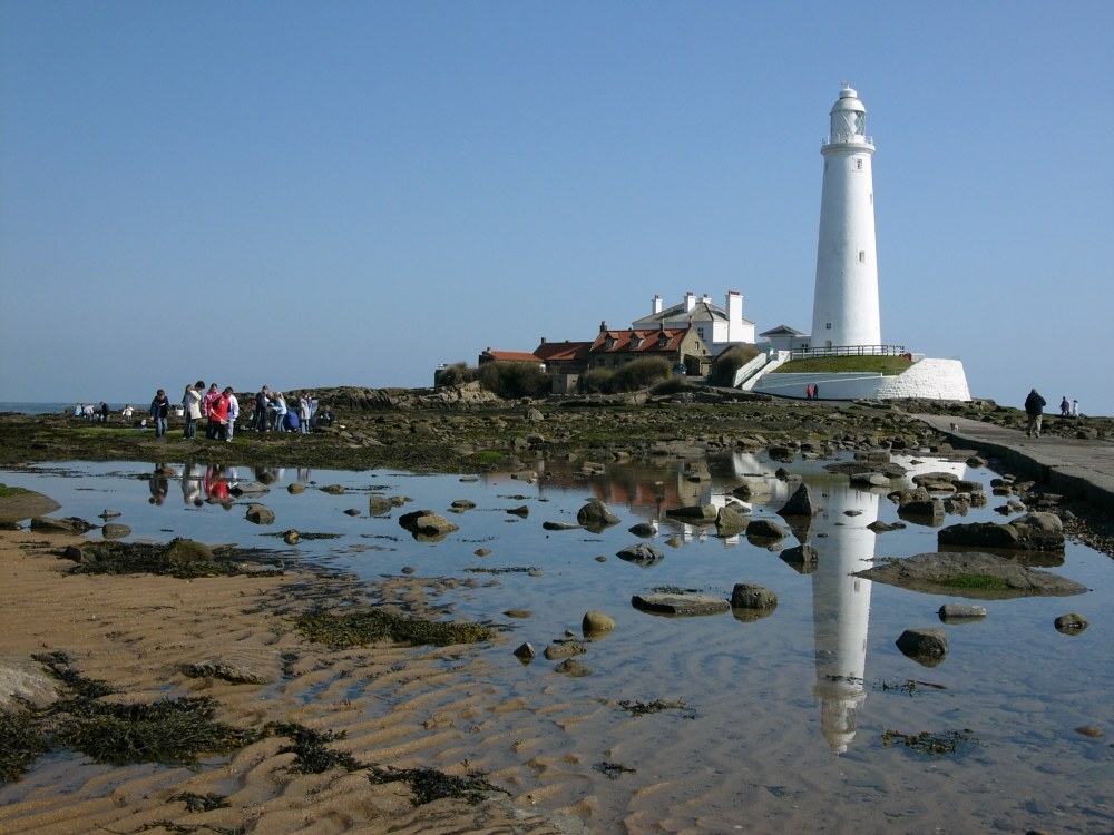
and dunes at Tynemouth Longsands is ideal for families, with a lifeguard patrol in summer and a growing reputation among surfers. In the final miles, the long, latte-coloured sands of Whitley Bay Beach stretch northwards to tiny St Mary’s Island at the route’s end, with its white lighthouse perched on the shore. End at Curry’s Point Local Nature Reserve (LNR) overlooking the lighthouse. The lively history of smuggling and violent shipwrecks here is a perfect contrast to the present day.
Essential info
Start/Finish: Souter Lighthouse to St Mary’s Lighthouse
Distance: 10.5 miles
Grade: easy
Terrain: Tarmac path and concrete promenade. Mostly flat with some short climbs and descents
Cafes/pubs: There are many cafés and kiosks along the route but highlights include Happy Organic café in Cleadon near the route’s start, the restaurants at Fish Quay in North Shields, and the exceptional Colmans fish and chip shop in South Shields. The Snug at Cullercoats Bike and Kayak is a favoured snack spot among cyclists, or sample the award-winning ice cream of Di Meo’s Parlour in Whitley Bay.
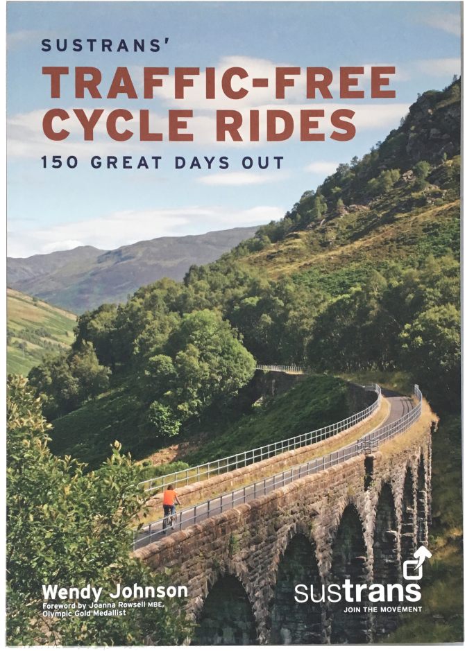
The routes come from Sustran’s Traffic-Free Cycle Rides – 150 Great Days Out (£12). The book brings together 150 of the UK’s finest traffic-free walking and cycling routes in celebration of twenty years of the National Cycle Network (NCN). GPX files for each route are also available to buy online.

