- Details
- Written by: Mike Walker
Cotswold Way Walk - Why Go?
At various points you'll be treated to stunning views over the western side of the Cotswolds Edge escarpment, Look to your right on the climb up from Wood Stanway and on a clear day you can see right across the Vale of Evesham across the surrounding countryside to the to the Malvern Hills.
There are Iron age hillforts (Beckbury Camp) ruined abbeys (Hailes) Butterfly Reserves (Bill Smylie’s) and multiple National Trust properties and stately homes. In fact, as walks in the Cotswolds go, this is pretty much a greatest hits compilation taking in Cleeve Hill, the highest point in the entire range, and a whole host of other tops.
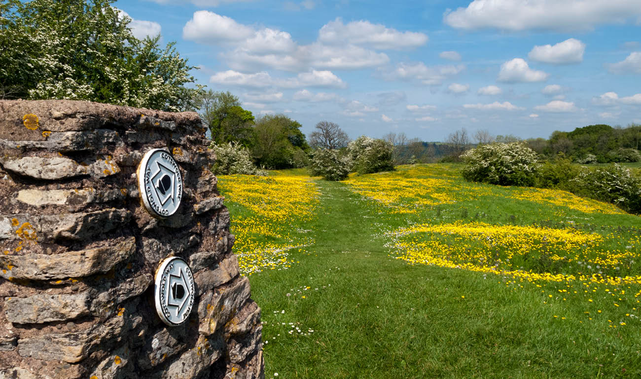
Cotswold Way Walk - What to Expect?
Tackling the whole thing in one go will take around a week, or possibly more, depending on how many pub / tea-room / quaint little church stops you make en route. You can walk the Cotswold Way from north to south or vice-versa, but the usual route begins in Chipping Campden in the north and finishes in Bath. Along the way, you can pack in most of the sights the Cotswolds are famous for, including Sudeley Castle, the town of Winchcombe, and the Neolithic long barrow of Belas Knap. Don't forget to pack your waterproof jacket to protect against the ever-unpredictable British weather!

Cotswold Way Walk - The Route, Part 1
164km / 7-8 days
The Cotswold Way is a linear route starting in the bustling market town of Chipping Campden in the North Cotswolds. The trail runs mainly along the western escarpment of the Cotswold Hills and from Chipping Campden this is where you head. This first part of the route takes you to Dover's Hill, with expansive views over the Vale of Evesham and then on to Broadway Tower and down into the village of Broadway itself.
You then climb back up the escarpment (a common theme!) through the Stanway Estate to Wood Stanway. In between Wood Stanway and Winchcombe you will pass the Iron Age hill fort of Beckbury Camp and an old ruined abbey. The next 10 or so miles takes you through and past a bevvy of feasts for the eyes including the Sudeley Estate, the ancient Neolithic long barrow of Belas Knap, Cleeve Common, then Bill Smylie’s butterfly reserve.
Cotswold Way Walk - The Route, Part 2
From Dowdeswell you pass close to Seven Springs which some believe to be the source of the Thames and then on to Charlton Kings Common with more breathtaking views, this time across to Cheltenham and the Severn Vale.
From Leckhamptomn Hill the route takes you through the Birdlip and its magnificant beech woodlands and on to Painswick Beacon and its golf course and ancient ramparts of an Iron Age hill fort. From Painswick the route descends into the Stroud Valleys and more magnificant woodlands before a brief respite from the hills with an amble along Stroudwater Navigation (canal) to Kings Stanley. From here you head up and down the escarpment through wooded valleys and the village of North Nibley with the famous Tyndale monument.
The trail then takes you through the towns of Wotton-Under-Edge and Tormarton via the National Trust properties of Newark Park and Horton Court. The trail then moves away from the escarpment so prominent in the early stages and through arable land down into Bath where the trail terminates at an ornate plaque set into the ground outside Bath Abbey.
For more fantastic walking routes in this area, have a look at our full rundown of the best walks in the Cotswolds.