- Details
- Written by: Roger Fulton
Sponsored content
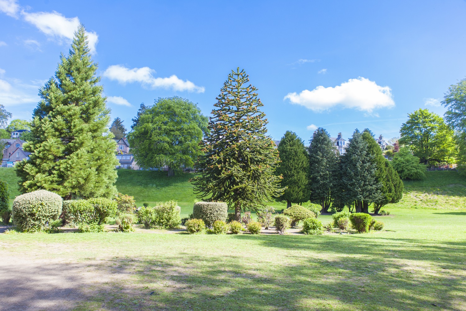
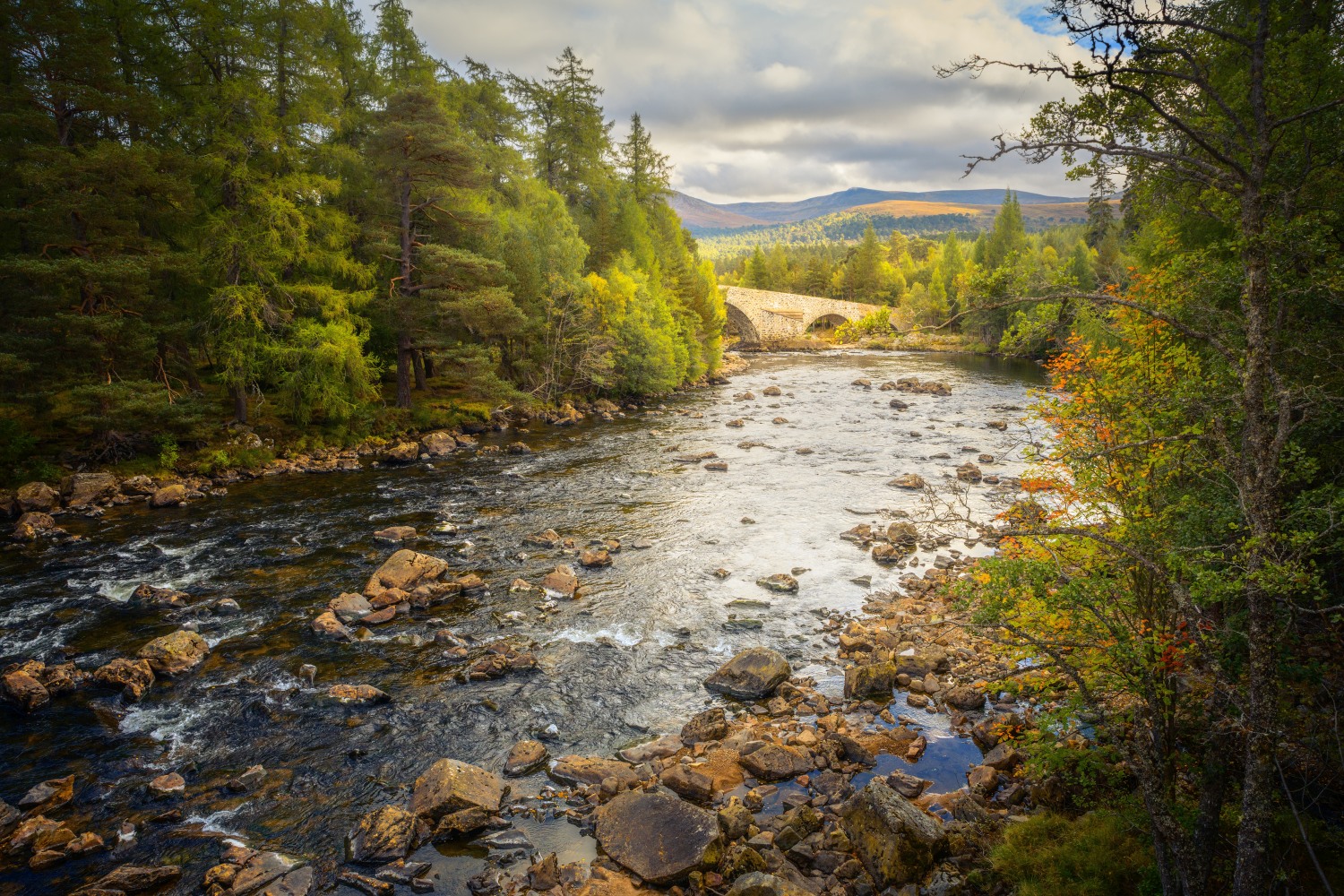
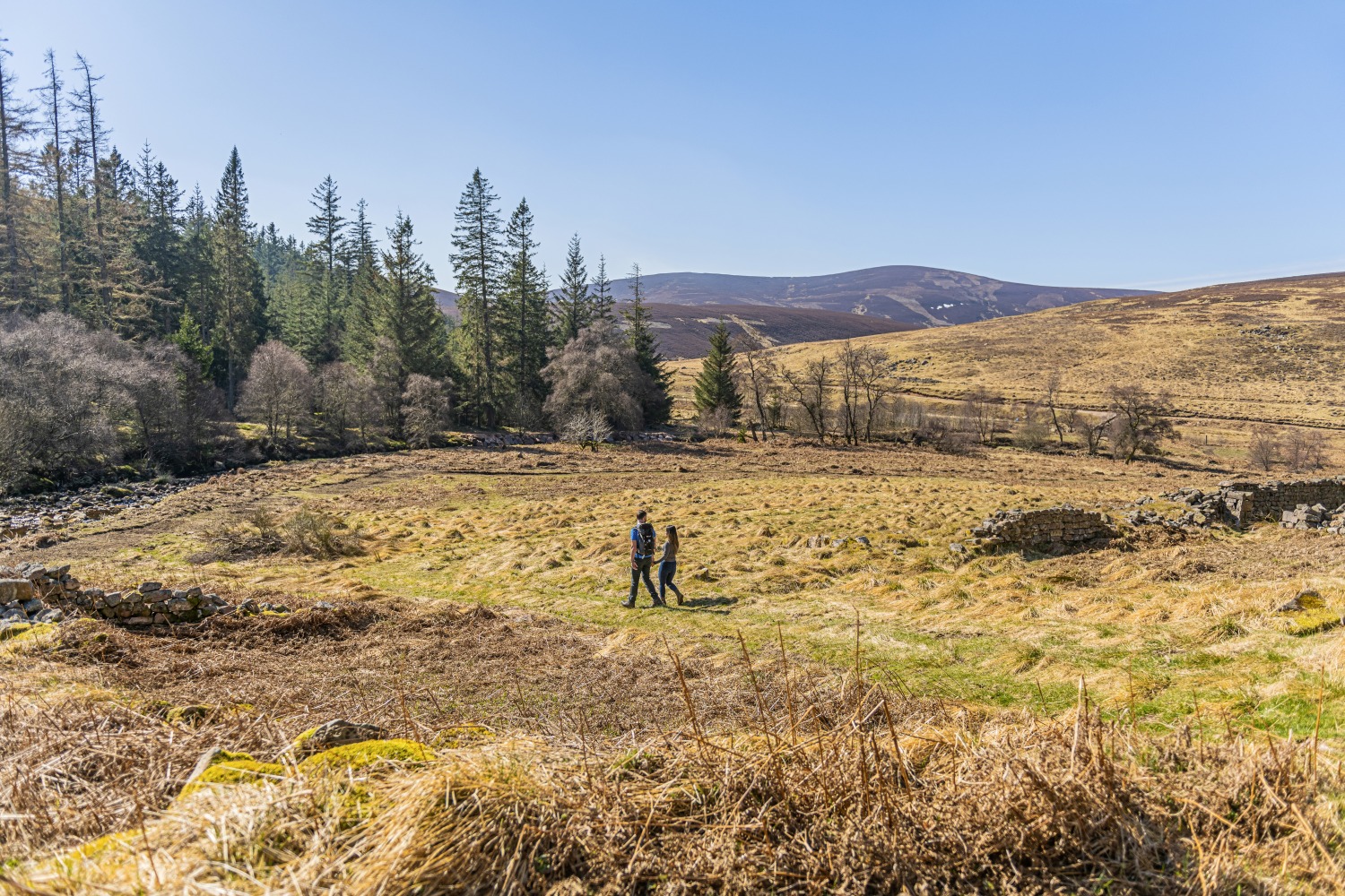
Aberdeenshire, in the north-east of Scotland, has a stunning coastline that’s full of contrasts. It’s home to remote, sandy beaches, punctuated by picturesque fishing villages, all fanning out from the bustling city of Aberdeen. Inland, Aberdeenshire is equally beautiful, and equally varied—from the flatter farmland near the coast to the rise and fall of the moors, and finally the foothills of the mighty Cairngorm mountains.
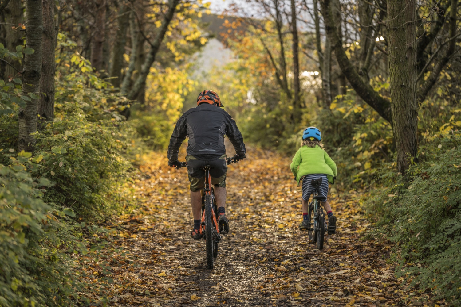
The best way to explore this outdoor adventure playground is either on foot, or on two wheels. The region is blessed with countless walks and rides, with some of the longer routes being perfect for bikepacking adventures. Here, we’ve selected 20 of the best, from the clifftop coastal trails to the climb up Bennachie, and from thrilling single-track descents, to some of Scottish Strava’s most challenging climbs.

- The Top 10 Walks in Aberdeenshire
- Loch Muick Circuit
- Mount Keen from Glen Esk
- Beautiful Bennachie Walk
- Lochnagar from Glen Muick
- Scolty Hill Walk, near Banchory
- Footdee and Aberdeen Harbour Walk
- Lairig Ghru Walk
- Forvie Sands and Collieston Walk
- Stonehaven to Dunnottar Castle Walk
- Ben Macdui Walk
- The Top 10 Road and Mountain Bike Rides in Aberdeenshire
- Cruden Bay Hatton Circular Ride
- The Deeside Way
- Relish Mountain Bike Trail
- The Tarland Way
- Bennachie Turnpike MTB Trail
- The Lecht
- Causey Mounth Ride / Aberdeenshire Ascents
- Kintore 100km Cycle Route
- Huntly Cycle Route
- Cairn O’Mount
- Useful info on bike rental, repairs and places to eat, drink and sleep:
The Top 10 Walks in Aberdeenshire
Loch Muick Circuit
12.5km / 3-4 hours
This beautiful loch on the Balmoral estate is a hugely popular walking route. Surrounded by impressive hills, the circuit starts from the car park at the Spittal of Glenmuick, heading past a small boathouse towards Glas-allt Shiel - the house built by Queen Victoria as a quiet retreat after the death of her husband Albert.
At the end of the loch you'll cross several little wooden bridges and can stop for a picnic break at one of the small beach areas. The views back across to Glas-allt Shiel from the far side of the loch are stunning.
Mount Keen from Glen Esk
17.5km / 5-6 hours
No list of the best walks in any region of Scotland would be complete without including the odd Munro. If you've never bagged a Munro (a Scottish mountain over 3,000ft) before, then Mount Keen is a good place to start.
The most easterly of the Munros, it’s a dome rising above vast tracts of empty, bleak moorland, with extensive views on a good day. The ascent from Glen Esk via Glen Mark is the shortest route and gives good going underfoot.
Starting from Invermark car park, you spend a couple of hours wandering through the glen along the river before you begin your climb. Along the way you'll pass the granite arches of The Queens Well, the site of a spring used by Queen Victoria during one of her rides here. Eventually the path starts to zigzag uphill, to the trig point at the rocky summit.
Beautiful Bennachie Walk
9.25km / 2.5 - 4 hours
Aberdeenshire's most famous hill range, Bennachie, has a number of walking routes. This one takes in the two highest peaks of Bennachie - Oxen Craig at 1,732ft with Mither Tap sitting slightly below at 1,699ft. Starting from the Back o'Bennachie car park, the route leads through the trees, onto exposed moorland, as you wind your way up to Oxen Craig, where a view indicator shows all the hills that can be seen on a clear day.
From the top head back a little way and descend stone steps down to the right, before a steep climb to the pointed peak of Mither Tap. From the Iron Age fort at the top of the summit there are more far-ranging views towards the North Sea. The undulating return route heads back to the start via Craigshannoch.
Lochnagar from Glen Muick
19km / 6-7 hours
Aberdeenshire is home to more than 30 Munros, and Lochnagar is one of the most celebrated of them all. A pointy summit rising high above one of Scotland's most beautiful corries, it was immortalised in verse by Lord Byron, and later, in the children’s book The Old Man of Lochnagar, by the reigning King Charles III.
This dark peak with its magnificent northern corrie is the highest, most popular and finest mountain of the Mounth - and maybe even the entire Cairngorms. Cac Càrn Beag, the true summit of Lochnagar, is a magnificent viewpoint for Deeside and the Cairngorms massif.
Fun fact: Long before her great-great-grandson wrote about it, Lochnagar was climbed by Queen Victoria, who described it, in typically joyless fashion, as “cold, and wet, and cheerless.” But don’t let that put you off—the weather was apparently unusually bad that day.
Scolty Hill Walk, near Banchory
3.25km / 1-1.5 hours
This is a great walk for families — the tower at the top of Scolty Hill is what really makes it stand out. Start from the car park signposted Scolty Woodland Walks, about a 5-minute drive from Banchory. The woods themselves are great for a stroll, but ignore the red and yellow marked routes and go straight on for a steeper climb to the summit.
Once you reach the tower, a monument to General William Burnett, you can climb the spiral staircase to the top for an even better view of the surrounding countryside of Royal Deeside, Bennachie, Clachnaben and even Mount Keen. Retrace your steps to return.
Footdee and Aberdeen Harbour Walk
4.75km / 1.5 hours
Along with the dozens of countryside walks, Aberdeen itself has several delightful urban strolls. This one takes in the picturesque Footdee (pronounced Fittie) - a small fishing village at the mouth of the Dee and Aberdeen harbour, long since swallowed up by the city.
The village dates back to mediaeval times but the cluster of cottages facing inwards onto their yards and colourful sheds is now an important conservation area and fascinating to explore. The walk passes the fringe of the busy modern harbour and returns via the city beach.
Lairig Ghru Walk
30.5km / 8-10 hours
A serious trek for serious walkers, the Lairig Ghru is the best-known hill-pass in Scotland. It climbs to an altitude of 835m and crosses through the central Cairngorms, one of the wildest areas in the country. This is remote and exposed terrain, where help is a long way off and it’s often snow-bound in winter, so make sure you’re well prepared. Assuming you know what you’re doing, however, this is a truly classic walk, offering some of the most stunning mountain views anywhere in the British Isles.
The actual summit of this route is hard to judge as the highest section has several stony moraines across it, remnants of the glacier that carved the route. But the exact location of your obligatory summit selfie doesn’t really matter—making it here is an achievement in itself.
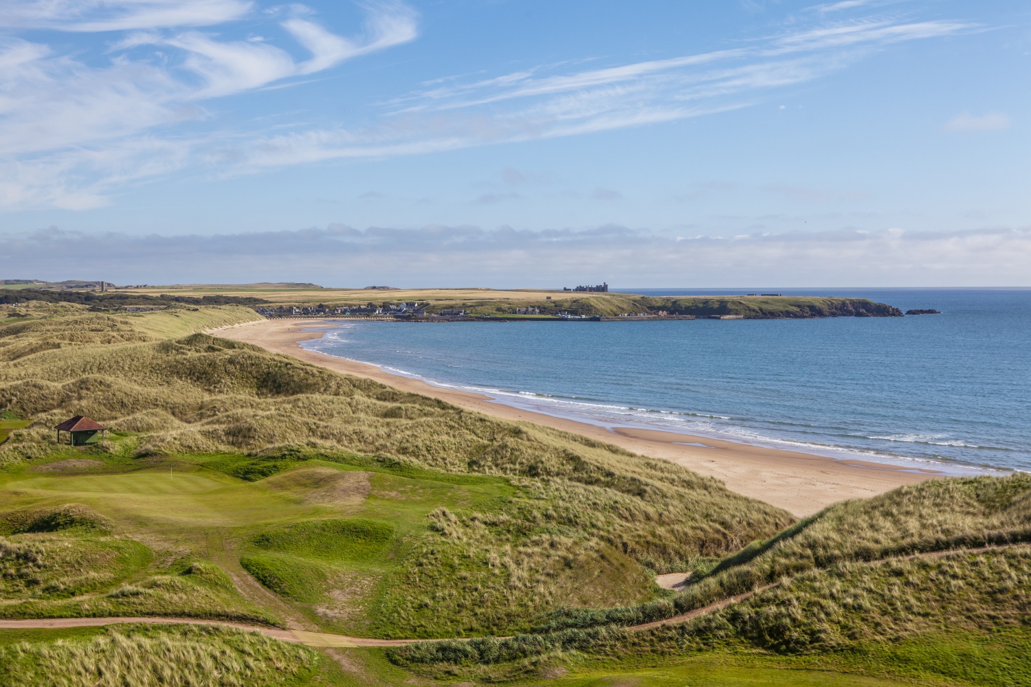
Forvie Sands and Collieston Walk
8.5km / 2-3 hours
This delightful seaside walk explores part of the Forvie Sands National Nature Reserve, a vast area of dunes and coastal heathland. Along the way there is some fine coastal scenery, a beautiful sandy bay and the site of a village, Forvie, that was destroyed by the drifting sands.
There’s the chance to spot seals on Newburgh Seal Beach, while idyllic Hackley Bay – renowned as Aberdeenshire’s ‘secret’ beach – is a sandy cove that’s perfect for a photo stop, a picnic, or even a swim on a sunny day.
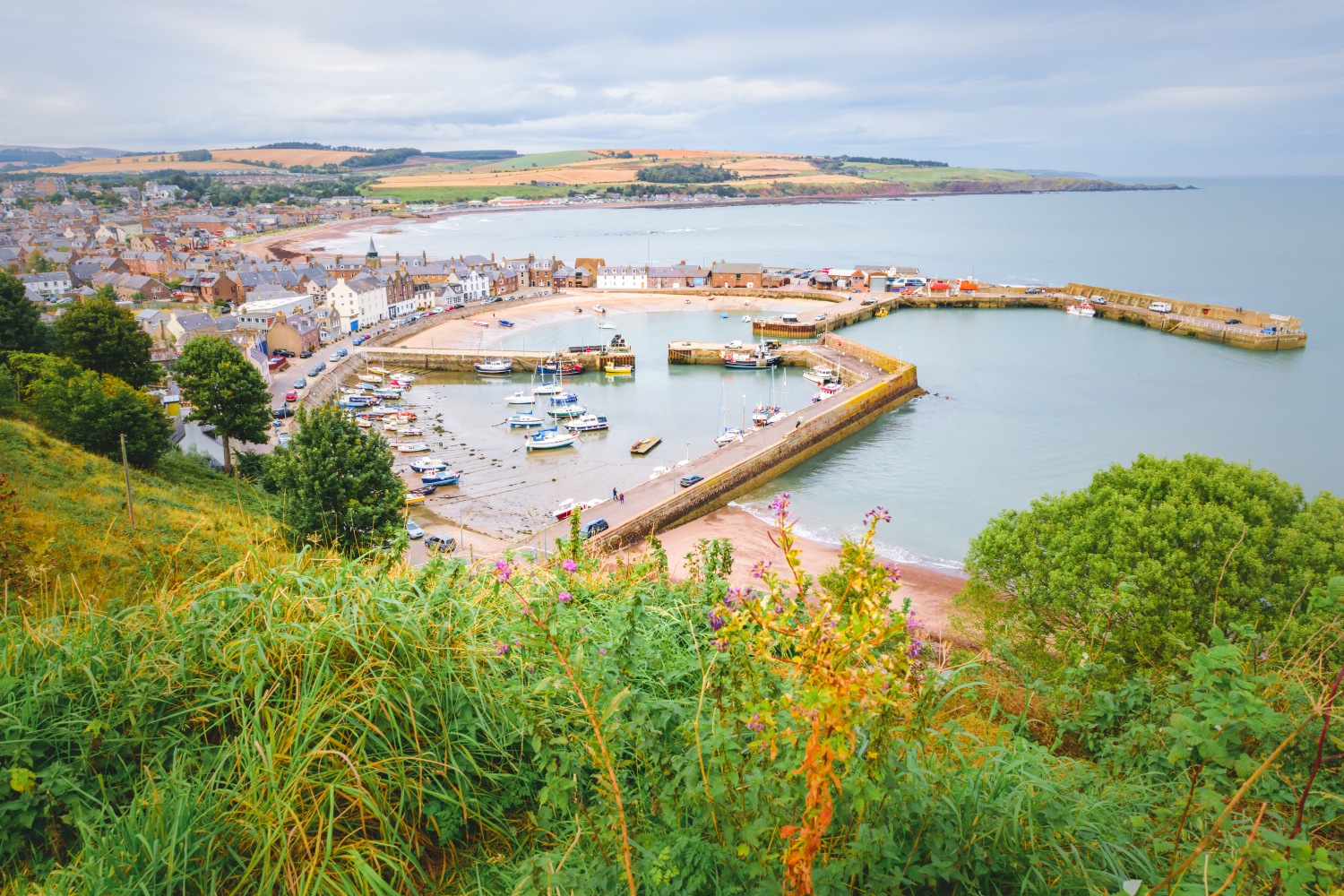
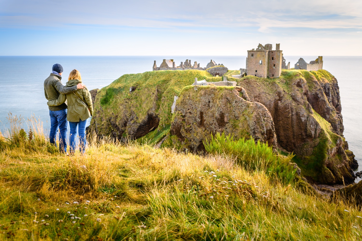
Stonehaven to Dunnottar Castle Walk
5km / 2 hours
Stonehaven is a pretty coastal village with a charming harbour that makes an ideal starting place for a family walk to the ruins of Dunnottar Castle. A spectacular coastal fortress, the castle is perched on a gigantic rocky outcrop almost detached from the mainland, and is said to have been visited by both William Wallace and Mary Queen of Scots.
Surrounded on three sides by the North Sea, this romantic and haunting ruin is a photographer’s fever dream. The most scenic way back is to return the same way, which avoids walking on any roads.
Ben Macdui Walk
29km / 9-11 hours
Ben Macdui, situated in the centre of a vast wilderness, is Britain's second highest peak. The best approaches are from Deeside, avoiding the ski areas on Cairngorm. Park at the Linn of Dee car park and head through beautiful pinewoods before beginning the long climb via the Sron Riach ridge. The plateau itself is extremely exposed and tricky to navigate if the visibility is bad, but in fair weather, it shouldn’t present too many problems.
The summit is supposedly haunted by a wraith-like Old Grey Man. Just short of the summit is a roofless stone shelter, built by OS surveyors in the 1840s when they were trying to calculate whether Ben Macdui or Ben Nevis was Britain's highest mountain.
The Top 10 Road and Mountain Bike Rides in Aberdeenshire
Cruden Bay Hatton Circular Ride
30km
This is a pleasant, short, circular road bike route with breathtaking views over the North Sea and a short hop from Dracula’s Castle. More properly known as Slains Castle, the building provided inspiration for Bram Stoker’s most famous novel after the author stayed in the nearby hotel, The Kilmarnock Arms.
Early drafts had Dracula coming ashore at Cruden Bay after his sea voyage from Transylvania. Cruden Bay itself is an attractive village and the beautiful beach, accessed via the white Cruden Bay timber footbridge, is definitely worth visiting.
The Deeside Way
66km
The Deeside Way is a 66km road bike route running from Aberdeen to Ballater, following the line of the Old Royal Deeside Railway. The path is suitable for walkers and cyclists throughout its length and can be ridden in one go or broken down into four sections: Aberdeen to Drumoak: 17 km; Drumoak to Banchory: 11 km; Banchory to Aboyne: 21 km; and Aboyne to Ballater: 17.7 km.
The second stretch passes through Park Estate which is an ancient hunting ground of Robert the Bruce, and includes gorgeous views of the River Dee and rolling hills. The undulating third section takes you through yet more rolling hills providing great views over the Aberdeenshire landscape. If you’ve worked up a hunger, the excellent Cambus O'May Creamery, where they make the famous eponymous cheese, is a great place for a pit stop towards the finish.
Relish Mountain Bike Trail
338m / easy
An entry level MTB descent, Relish is a new trail that has been created as a companion to the much-loved Chutney descent – one of 15 varied trails in the Balfour Forest.
A fun, flowy, blue trail, it’s not beyond the skills of intermediate riders, while advanced riders will get a kick out of lapping it at speed. For a tougher, red-rated single-track descent, try Creagantoll Kickers, a fast and rocky trail with a couple of drop-offs.
The Tarland Way
10km
A good family-friendly road bike route for those who just want to get the kids onto their bikes and cycling safely in the wonderful Aberdeenshire countryside. This links the village of Tarland with the nearby town of Aboyne, and passes through the Howe of Cromar, an area of outstanding natural beauty.
The scenery is pleasantly varied, and rich in wildlife, which the kids will enjoy trying to spot as they pedal along.
Bennachie Turnpike MTB Trail
16km
Bennachie has a wide range of mountain bike trails to suit all ages and all abilities, but this is one for the more experienced rider. The Bennachie Turnpike Trail circular runs along part of the old Aberdeen to Inverness turnpike road and is an ideal route for a summer evening ride.
Although it is only 16km long, you get a huge variety of cycling, from immaculately groomed way-marked track to Land Rover track (some of which is quite gnarly!) plus small tarmac stretches, some single track, and about 200m of hike-a-bike. One stretch, The Big Hair Descent, is a particularly hairy downhill section.
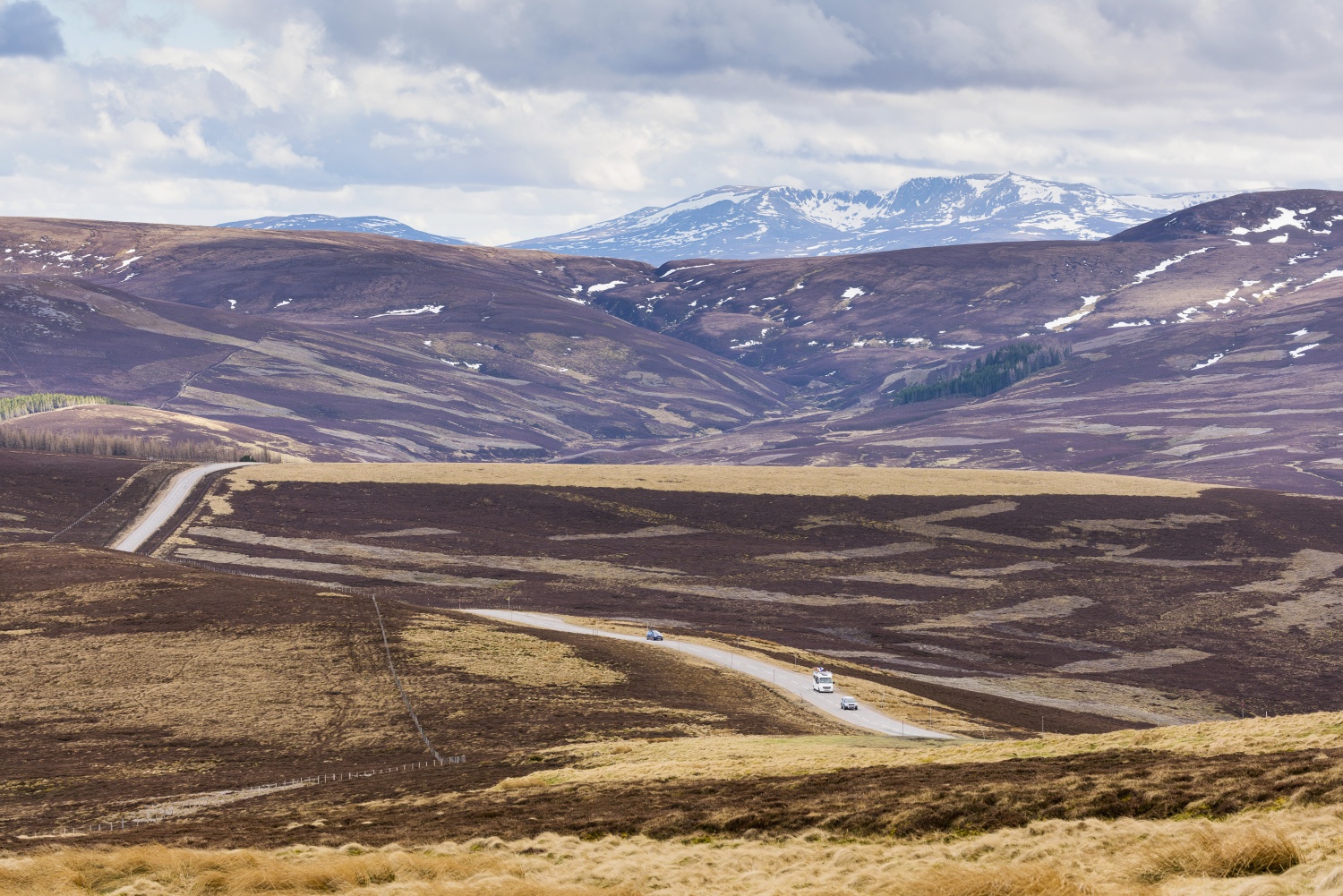
The Lecht
4.1km
The iconic Lecht climb from the south has been described as a ‘true monster of a climb’, and no wonder. Starting from Cockbridge, close to the beautiful Corgarff Castle, this stunning 4.1km climb leads to the Lecht ski centre.
It features a brute of an intro, but there are some undulating sections where you might find some relief. The road is very open, and exposed to the elements, so it’s definitely worth waiting for the weather. If you have the breath to take it in, the scenery is pretty awesome - the views from the summit are probably better than on any other cycling route in Scotland, if not the whole of the UK.
Causey Mounth Ride / Aberdeenshire Ascents
0.78km
A Strava segment, rather than a road bike ride in its own right, this deserves listing here because it’s a great introduction to the ten steep climbs collected under the umbrella of the “Aberdeenshire Ascents”.
The shortest of the ten, this has been attempted over 35,000 times and the fastest recorded time is 1 minute 50 seconds. The longest of the ascents is Cabrach, just south of Huntly, clocking in at 9.06km.
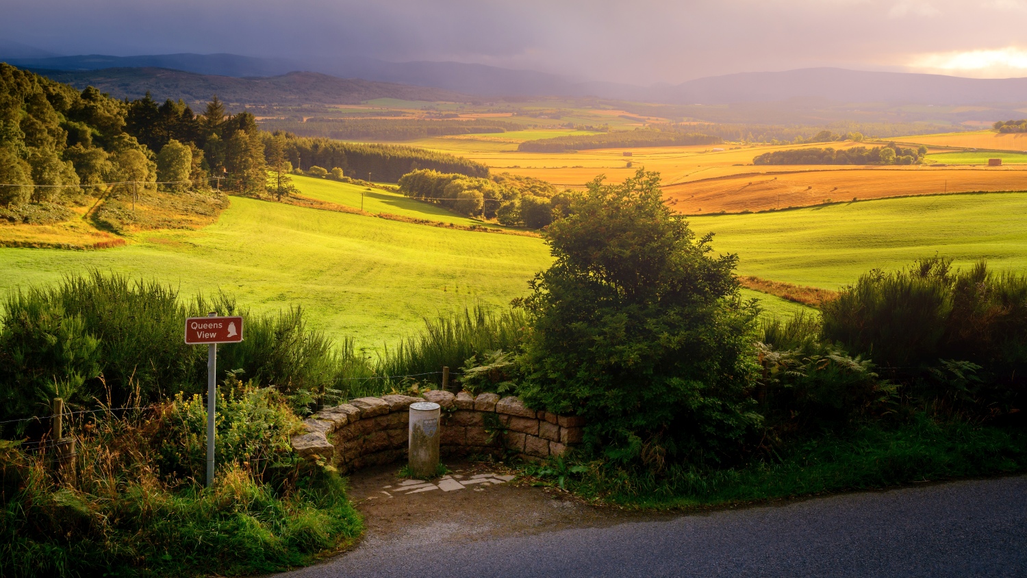
One of the prettiest is The Queen's View ascent on the outskirts of Tarland, which was said to be a favourite location of Queen Victoria. The scenery includes views of distant mountains, including Lochnagar, which she apparently preferred looking at to climbing.
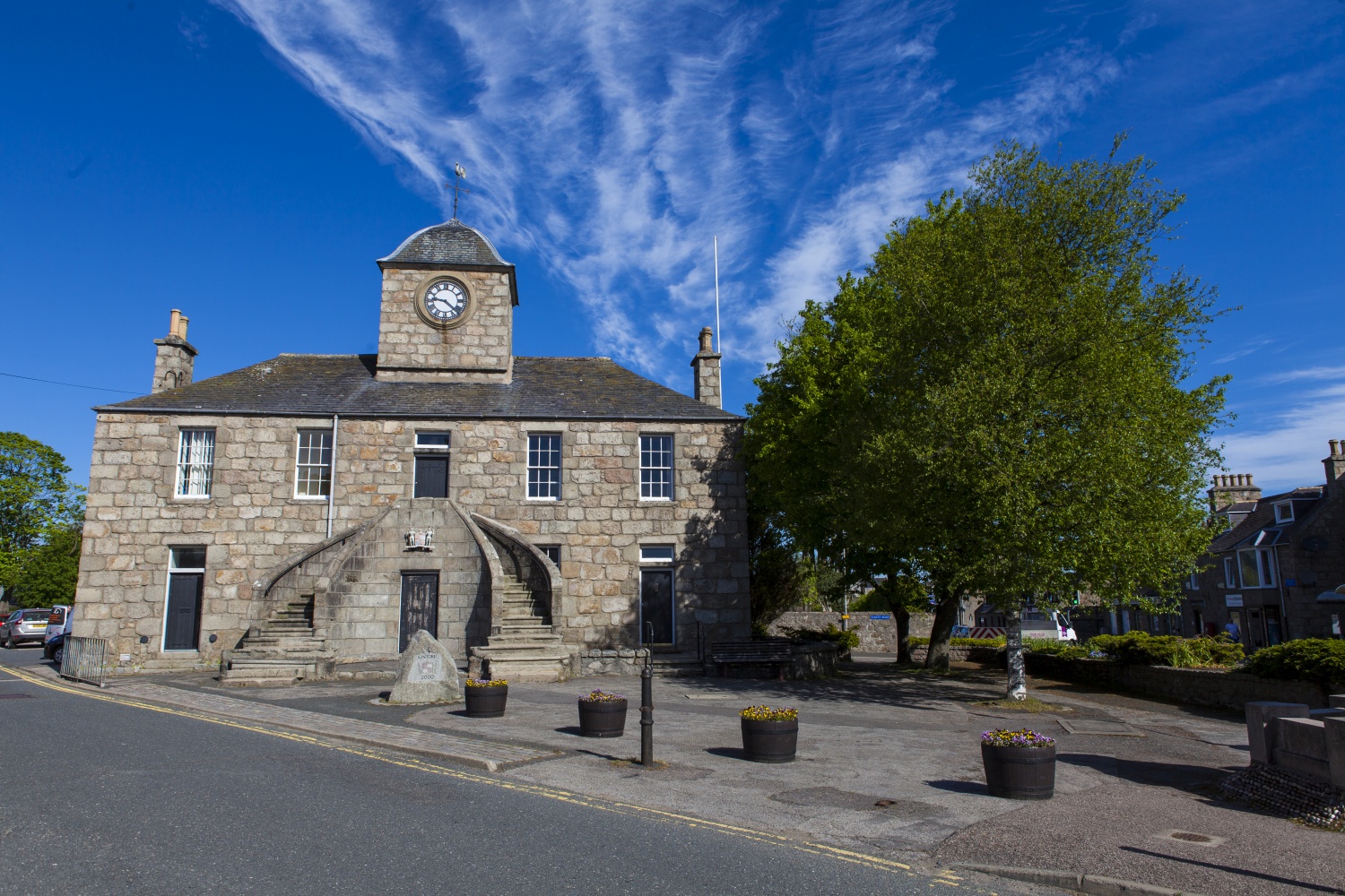
Kintore 100km Cycle Route
100km
No list of top bike rides would be complete without at least one long-distance road bike route, and this is a cracker. A demanding circuit starting in the historic town—and former Royal Burgh—of Kintore, it begins adjacent to the River Don, and heads way south to Royal Deeside, taking in climbs on the Slug Road, Garrol and Learney before returning to Donside.
The A957 Slug road is one of the ancient ‘Mounth’ passes connecting Angus to Deeside. At the top of the Garrol, if you are looking for an excuse to take a breather, head into the woods to visit the Nine Stanes Stone Circle: it is only 100m or so from the road. A fantastic route to pack your kit and give bikepacking a go.
Huntly Cycle Route
45km
A scenic circular cycle route starting in the historic market town of Huntly that takes in the world whisky capital Dufftown, before returning via the charming village of Rhynie.
After leaving Huntly the route climbs steadily into remote moorland, followed by a 7km rolling descent and a short uphill, before dropping into Dufftown. Here, a stop and a visit to a distillery is all but obligatory. After leaving Dufftown you tackle one of the Aberdeenshire Ascents (The Cabrach) on the way to Rhynie. From there you head back north through rolling farmland to the start point in Huntly.
Cairn O’Mount
3.3km
The Cairn O'Mount, at 1,473 ft, is the highest point of the B974 road which climbs over the eastern edge of the Cairngorms between Fettercairn and Banchory. From the south, the ascent is a formidable 3km category three road bike climb with an average gradient of 9.8 percent.
The climb gained international recognition as a beast when it featured in the final stage of the 2021 Tour of Britain. This hill doesn’t break you in gently. It kicks off with a 16-18 percent gradient before scaling back to 12 and finally finishing with a ‘relaxing’ section at eight percent. There is no tree cover, the landscape is barren. It’s just you and the climb.
Useful info on bike rental, repairs and places to eat, drink and sleep:
To really get to know this part of Scotland by bike, it’s a good idea to tap into the knowledge and expertise of local guides and bike shops.
Book on a guided ride with an expert who can tailor an experience for all riders, offering everything from an introduction to off road cycling to an overnight bike rafting adventure. If you need mechanical assistance or to stock up on spares while you are here there are plenty of local bike shops standing by to help, and bike hire is easy, with plenty of outlets in Aberdeen and the wider region. E-bikes are available to hire, on a pay as you go basis, in Aberdeen City.
Go to visitabdn.com for more info about cycling in Aberdeenshire.