- Details
- Written by: Sophie Nicholson
- Last Updated: 13 Oct 2025
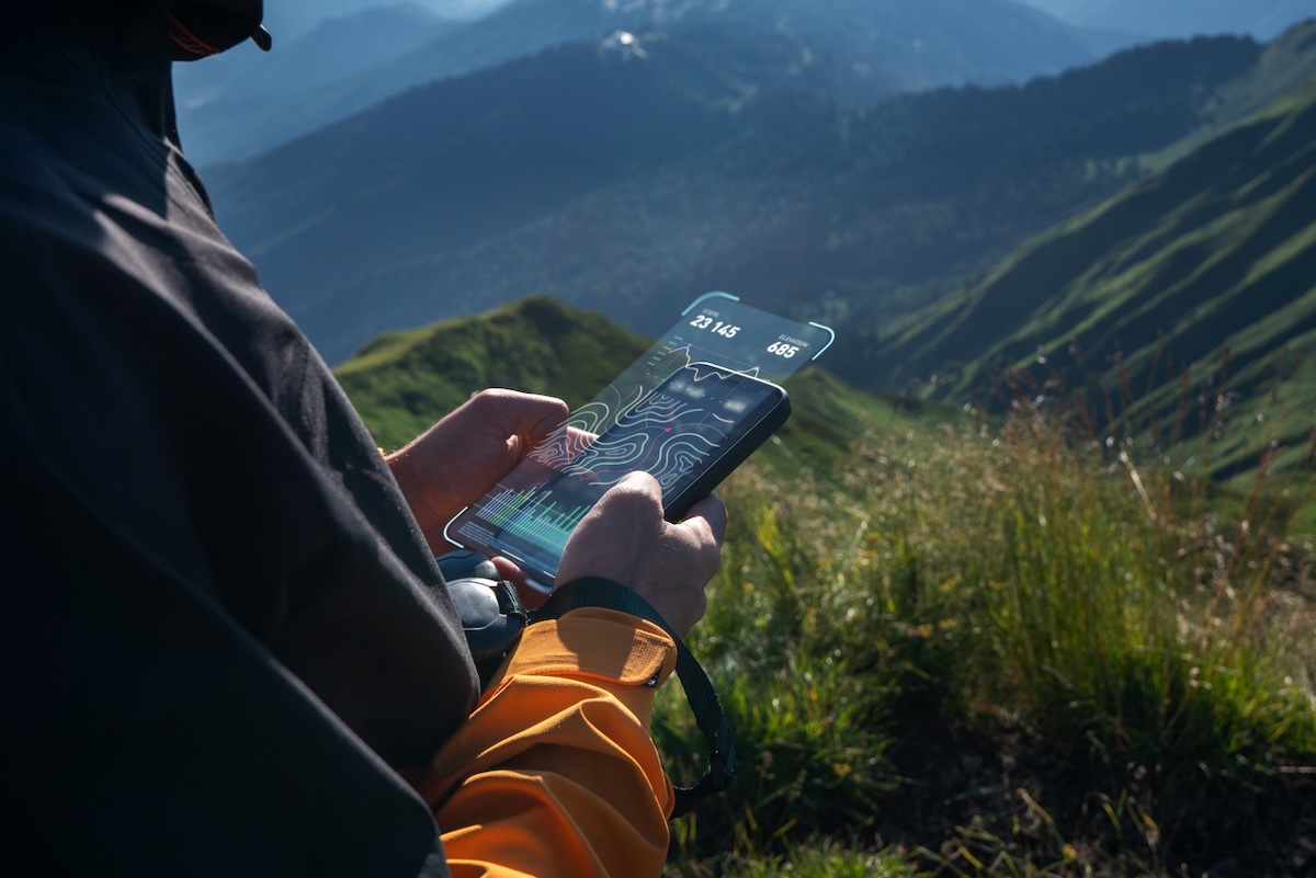
Even in an age of GPS and smartphones, the true foundation of any safe adventure is still the same - aka three things: a map, a compass, and the knowledge of how to use them.
Whilst no app can replace good mountain sense — the best hiking apps can definitely enhance it.
From planning multi-day routes to checking weather fronts and plotting safe descents, digital navigation tools have become invaluable companions for modern hikers. They make it easier to visualise terrain, download offline maps, and discover trails you might never have found otherwise - whether you're exploring remote trails on a walking holiday in Scotland or teetering along an alpine ridge on one of the highest mountains in France.
"No app can replace good mountain sense — but the best hiking apps can definitely enhance it"
Used alongside traditional navigation, these apps can help you explore more confidently, stay safer, and get inspired for your next big trip.
So whether you’re a seasoned mountaineer, weekend rambler, or long-distance trail planner, here are the best hiking apps for 2025 — tested, trusted, and built to support your adventures.

OS Maps
The gold standard for UK walkers. Backed by Ordnance Survey, OS Maps gives you access to every Explorer and Landranger map in digital form, complete with footpaths, rights of way, and terrain shading. You can plan routes, print them, or use 3D fly-through previews to visualise your hike. Perfect for planning activity and adventure holidays in the UK or sniffing out some of the most stunning and remote beaches in Britain.
Best for: Navigation and classic UK route planning
Active highlight: Download maps for offline use — essential for areas with patchy reception.
Outdooractive
A true powerhouse for Europe’s outdoor community, Outdooractive combines topographic maps, verified routes, and local hut information. Its premium tier unlocks global topo layers (including IGN, OS, and SwissTopo) and voice-guided navigation. Perfect for hut-to-hut hikes and alpine adventures like walking holidays in Switzerland.
Best for: Multi-day trekking and alpine routes
Active highlight: Plan on desktop, sync to your phone, and go — seamless adventure planning.

Komoot
If your idea of a perfect day involves a mix of trails, views, and good coffee stops, Komoot is your match. The app blends navigation with social discovery, letting you explore community “Highlights” with photos and route tips. It’s intuitive, reliable, and fun to use.
Best for: Adventure discovery and bike-hike hybrids
Active highlight: A big fave with the bikepacking community so super useful for planning cycling holidays in Spain and other such two-wheel faves.
AllTrails
With millions of user-generated routes, AllTrails is brilliant for quick-hit hiking ideas. You can filter by difficulty, elevation, trail type, and even dog-friendliness. It’s less precise than OS or Outdooractive for off-grid navigation, but unbeatable for inspiration. Ideal if you're parked up in one of the UK's best campervan sites and on the hunt for local adventures!
Best for: Finding nearby walks and trail reviews
Active highlight: The community reviews and photos make picking your next route easy.

Gaia GPS
Beloved by serious adventurers, Gaia offers incredibly detailed topographic and satellite maps with GPS tracking, route logging, and elevation graphs. Its interface takes a little learning, but once mastered, it’s hard to beat for remote terrain.
Best for: Backcountry navigation and mapping geeks hunting out secret bothies in Scotland!
Active highlight: Layer multiple maps — from satellite imagery to slope angle — for ultimate route insight.
Wikiloc
Wikiloc is one of the world’s largest route-sharing platforms, packed with community-uploaded GPX trails. It’s slightly rougher around the edges than AllTrails, but a treasure trove for offbeat hiking spots and international adventures like The Walkers' Haute-Route from Chamonix to Zermatt.
Best for: Discovering under-the-radar trails
Active highlight: Follow GPX routes offline or export them to your smartwatch or GPS device.

Conclusion
Whether you’re exploring the UK on foot, hiking in Aosta, or plotting your next alpine hut-to-hut, the right app makes a huge difference.
Use OS Maps for precision, Komoot for discovery, and Outdooractive for the full international picture — then mix in others for tracking, visualising, and sharing.
Whichever app you choose, remember: even the best tech has its limits. Batteries die, screens crack, and signals drop. Remember to download your maps before you go, pack a backup power bank, and never forget - even in the age of GPS - that a paper map is still a hiker’s best friend.


