- Details
- Written by: James Forrest
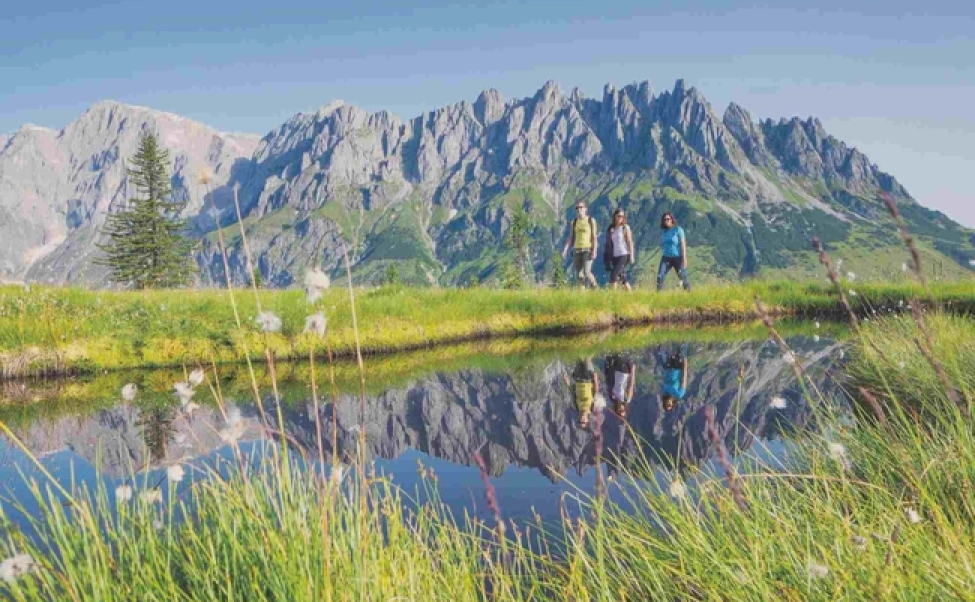
The Brecon Beacons are a range of rounded, grassy hills - broken in places by steep escarpment edges - that stretch across 520 square miles in South Wales. Established in 1957, the Brecon Beacons National Park is one of the best places in the UK to stargaze – it achieved International Dark Sky Reserve status in 2012.
Split across four distinct regions – the Black Mountains to the east, the central Beacons, Fforest Fawr, and (confusingly) Black Mountain to the west – the Brecon Beacons are beloved for their rolling hills, wild ponies, wind-battered moorlands, ancient standing stones and plunging waterfalls.

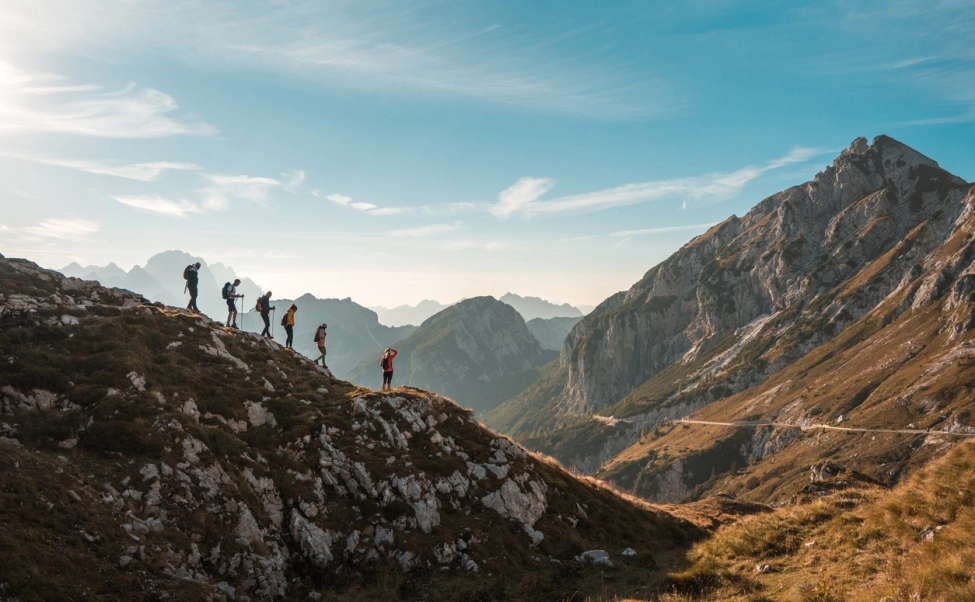
Pen y Fan (886m), the highest mountain in South Wales, is the biggest draw, reputedly attracting 120,000 visitors each year. But there is so much more to the Brecon Beacons National Park than this single high point. From epic horseshoe walks and remote hill-bagging routes to long-distance trails and Sunday afternoon bimbles, here’s our pick of the best walks in the Brecon Beacons.
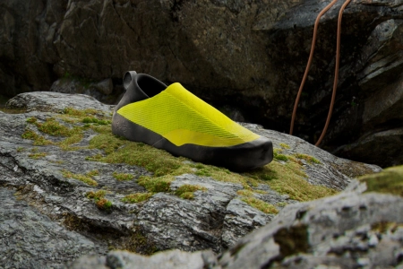
As always, with hiking in the UK, you'll need the right outdoor gear. Potentially muddy trails require proper walking boots, and you'll want to pack a backpack with a decent waterproof jacket, some extra layers, water, and a snack before setting off.
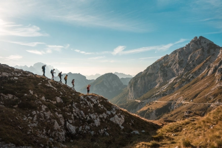
Pen y Fan Horseshoe Walk
13.7km / 5 hours
Think of the Brecon Beacons and most hillwalkers’ minds will immediately go to thoughts of Pen y Fan. It is the crown in the jewel of the Beacons – the highest point in South Wales, a bucket-list hill to be proud of summiting, and a fine mountain ridge path with picturesque scenery.
Sadly Pen y Fan is incredibly busy, attracting hordes of eager climbers every year. Most of them opt for the easiest ascent from the Storey Arms (Pont ar Daf), but a better and quieter option is available. From the south at Blaen Taf Fechan Forestry Commission car park, you can enjoy a long but rewarding horseshoe ridge walk, completing a clockwise, high-level loop of a humongous corrie. The route, which ticks off the four summits of Corn Du (873m), Pen y Fan (886m), Cribyn (795m) and Fan y Big (719m) – and is (probably) the biggest and best day hike in the Brecon Beacons.
Sugar Loaf Mountain Walk
8.5km / 3 hours
Wales’ answer to Rio de Janeiro’s iconic peak, Sugar Loaf is a mountain that captures the imagination. Its conical shape is reminiscent of a volcano, but there is no chance of an eruption – it is made of old red sandstone. At a modest 596m above sea level, it’s far from the highest point in the Brecon Beacons, but this diminutive-yet-dramatic mountain offers expansive views across South Wales.
Atop its summit you can see the Black Mountains, the Bristol Channel, the Wye Valley and the English border. The route begins at Llanwenarth car park, located three miles to the north-west of the historic market town of Abergavenny in Monmouthshire, you’ll wander first through a deep wooded valley before listening to soaring skylarks as you climb the heather and bracken-clad slopes to Sugar Loaf’s summit.
- READ NEXT: Adventure-Fuelled Things to do in Snowdonia
Carmarthen Fan
22.5km / 7 hours
Located in the western Brecon Beacons, a group of five remote hills are known locally as either the Carmarthen Fan, Y Mynydd Du or the Black Mountain (not to be confused with the Black Mountains in the eastern Beacons).
Collectively Fan Hir (761m), Fan Brycheiniog (802m), Picws Du (749m), Waun Lefrith (677m) and Garreg Las (635m) form a delightful circular walk along a striking escarpment edge, with evidence all around of how the landscape was carved by the glacial action of the last Ice Age.
You also get stunning views from the escarpment edge of two lakes: Llyn y Fan Fawr and Llyn y Fan Fach. The latter is shrouded in Welsh legend and lore, home to the mythical Lady of the Lake. A good route option is to start in Glyntawe and complete an anti-clockwise ridge walk of the five hills.
The Beacons Way
159km / 8 days
This walk is a Brecon Beacons binge – your chance to explore the length and breadth of the Brecon Beacons National Park and truly indulge in its delights. Over about eight days, you’ll cover almost 100 miles of the Beacons, hiking from Abergavenny to Llangadog, or vice-versa.
Established in 2005 by John Sansom, a keen walker and member of the Brecon Beacons Park Society, the long-distance trail explores high hills, deep valleys and expansive moorland, as well as villages, churches, stone circles and other cultural highlights such as the 12th century ruin of Llanthony Priory.
The walk ticks off many of the Brecon Beacons’ iconic mountains – including Pen y Fan, Ysgyryd Fawr (the Holy Mountain), Fan y Big, Fan Llia and the Carmarthern Fan – and samples parts of the Offa’s Dyke Path too.
Craig Cerrig Gleisiad National Nature Reserve
13.1km / 5 hours
To the west of Pen y Fan – on the other side of A470 – rises the formidable, fissured, heavily-vegetated cliff face of Craig Cerrig-gleisiad. It’s the “Brecon Beacons at its most natural and wild”, according Will Renwick, the president of Ramblers Cymru.
Part of a national nature reserve formed in 1958, this area was formed about 18,000 years ago when a glacier carved out the valley during the last Ice Age, and it is now the most southerly habitat in Britain of several arctic-alpine plants such as rose root and purple saxifrage.
The best route for exploring the nature reserve starts at a the car park in a layby and picnic area off the A470, two miles north of the Storey Arms, and ticks off three peaks – Fan Frynych (629m), Craig Cerrig-gleisiad (629m) and Fan Fawr (734m).
The Black Mountains
11.5km / 4 hours
Located at the north-eastern tip of the Brecon Beacons, the Black Mountains are a group of grass-and-heather-cloaked hills on the England-Wales border. Steep escarpment edges make the ascents tough, but the flat ridges offer seemingly endless miles of easy walking – much of it on the historic Offa’s Dyke Path, a 177-mile national trail, that's one of the best long distance walking routes in the UK.
There are a myriad of hiking options in the Black Mountains, including excellent walks from Capel-y-ffin, but the range’s best hike is to its highest point via the dramatically-named Dragon’s Back ridge.
From Dinas Castle Inn, near to the village of Pengenffordd, the narrow grassy ridge of Y Grib – said to resemble the backbone of a sleeping dragon – climbs sumptuously up to the summit of Waun Fach (811m), before looping back to the valley via the Cambrian Way, Pen Trumau and Cwmfforest.
- READ NEXT: Best Osprey Backpacks and Bags