


Nigel Tufnel, lead guitarist in the fictional heavy metal band Spinal Tap, said of the Bronze Age druids of Stonehenge, "No one knows who they were or what they were doing". Nor do we know how several dozen massive bluestones were moved from the Preseli Hills in west Wales to Salisbury Plain in Wiltshire. Most archaeologists think the huge stones were transported by sea, on rafts along the south coast of Wales, across the Bristol Channel and then up rivers and overland to Stonehenge. It would have been an astonishing undertaking, given the technologies of the time. Recent research suggests the stones weren't moved by people at all, but by glacial action more than half a million years ago, slowly dragging them from west Wales to Wiltshire.
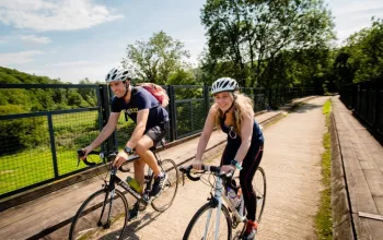
However the stones got from here to there, what's beyond doubt is that for prehistoric Britons both the Preseli Hills and Salisbury Plain were very special places. Both landscapes are studded with standing stones, cairns, burial mounds and other ritual sites. Some archaeologists believe it was the landscape itself that was sacred and individual sites were merely focal points. To travel by bicycle is to travel at the speed of the land. This makes it the perfect way to appreciate a landscape as a single entity, perhaps in the way that our Bronze Age ancestors did. This ride leaves the coast behind and heads inland for a loop around Mynydd Preseli.
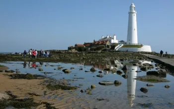
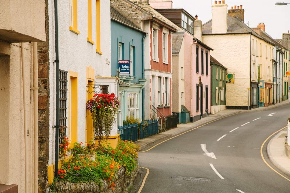
The cheerful harbour town of Fishguard sits at the mouth of the Afon Gwaun and the ride begins by following the river upstream, initially on the B4313 before crossing onto a narrow lane that traces its way up the valley. The Gwaun valley sets the pulse of geologists racing because it's a rare example of an ice-age meltwater channel: a valley scoured out by torrents that flowed as the glaciers retreated at the end of the last ice age. It's now densely forested with beech, hazel, ash and oak, and dotted with megalithic standing stones. In St Brynach's Church in Pontfaen there are two carved stone crosses from the Age of Saints and on the hillside north of Llanychaer there's a holy well to seek out. The whole place has an enchanted, timeless feel to it, as if the 20th century never arrived, save for a few cars and tractors.

It seems the locals haven't fully accepted the Gregorian calendar adopted by the rest of Britain in 1752; they still celebrate New Year's Day according to the older Julian calendar, currently on 13 January. On that day many children skip school to tour the homes in the valley, singing songs.
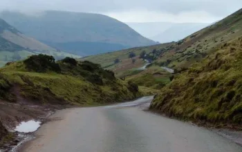
The route picks its way around the northern slopes of the Preselis on a network of quiet, narrow lanes. It's not always by the most direct route, but it's idyllic cycling country and the miles tick away easily. Leaving the Gwaun behind, it's on to the valley of the Afon Nyfer, climbing gradually to the village of Crymych. Along this section of the ride the dividing line between arable farmland and the rocky uplands is clear to see and soon enough, rounding the eastern end of the massif, the landscape becomes more rugged and exposed.
The sparse village of Mynachlog-ddu is best known as the home of the poet Waldo Williams. In 1946 he wrote a poem entitled Preseli, a pas- sionate protest against the threat that the hills would be turned into a military training ground. It is not unheard of for stone circles and other prehistoric sites to be used as target practice by trigger-happy squaddies.
The last two lines are among the most quoted in all Welsh language poetry, in Williams' own English translation: "Hark! A roar and ravage through a windowless forest. To the wall! We must keep our well clear of this beast's dirt." Powerful stuff.
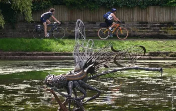
In the village is a collection of standing stones, several of which were helicoptered down from the summit ridge above the village. The lane then snakes its way along the contours of the southern edge of the massif, offering some stunning vistas south across Pembrokeshire's rolling farmland interior. Antiquarians will find this section slow going because there's a profusion of Bronze Age sites to investigate.
It's then a rollercoaster ride through Bernard's Well and Henry's Moat, rounding the whale- backed Mynydd Castlebythe. The final climb is just after Puncheston, up the slopes of Mynydd Cilciffeth. The reward is a five-star view out to sea and into the setting sun. It's then a swooping descent into the Gwaun valley and the return ride, retracing the outbound route from earlier in the day, along the B4313 back to Fishguard.